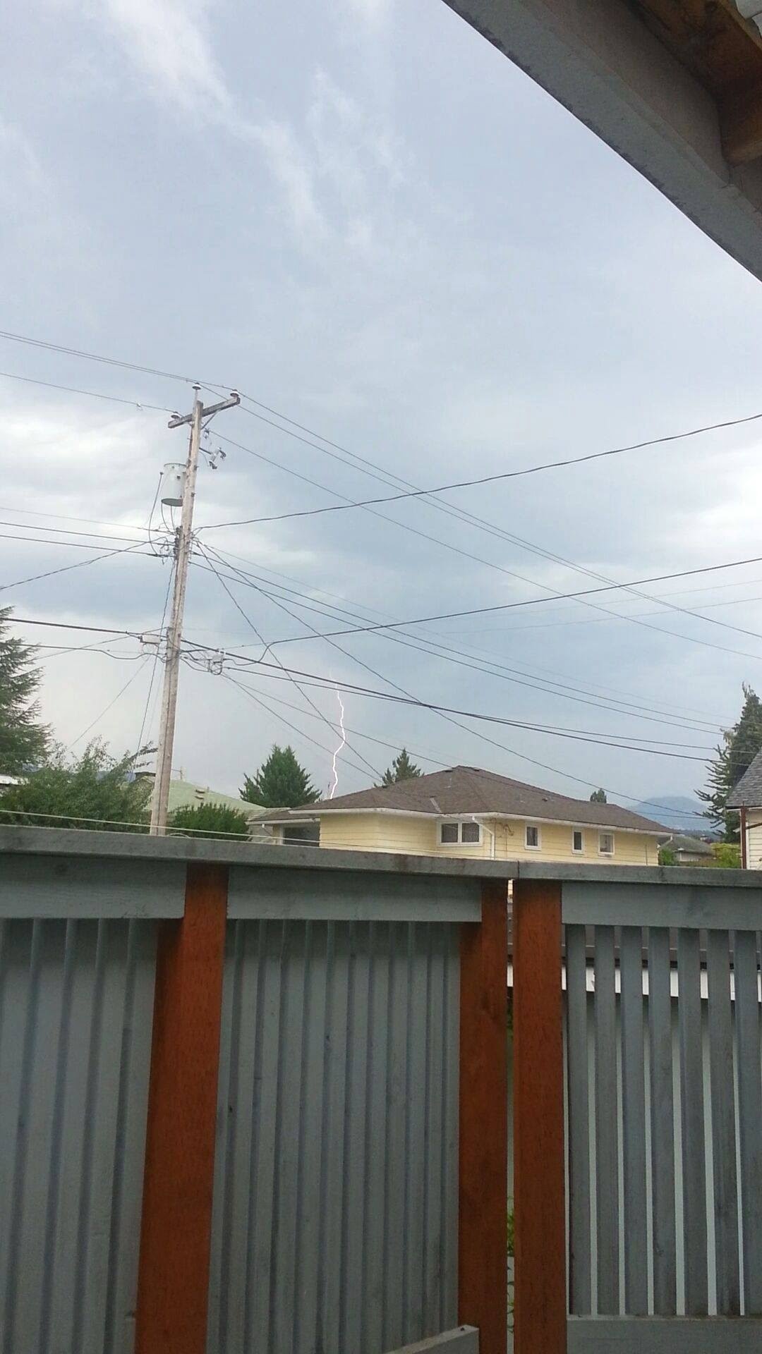
This picture comes courtesy of Heather Mollet.
We got yesterday one of the strongest thunderstorms I remember here and I’ve heard a few others say the same anecdotally. Certainly compared to the storms I got to experience in Mexico in July, this one seemed to be a pretty good effort! There were more than a few stories about one particularly strike of lightning that knocked a few people’s socks off. The pic above might just be that strike, it’s impossible to say for sure though.
You can see the thunder clouds building in yesterday’s time lapse. But unfortunately the power outage took out the webcams so there is a gap until things calmed down and power returned.
Unsettled Start of Week.
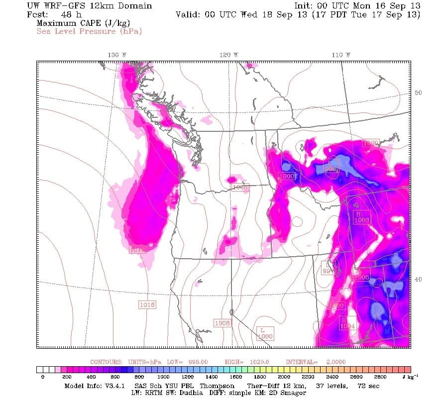
The final days of official summer (fall begins on Sunday) will be pretty dreary compared to last week. Environment Canada has us expecting a chance of thunderstorms today. But honestly, I don’t see it on the UWash models. The next chance for thunderstorms looks to be Tuesday afternoon.
For the most part it will just be cloudy with some scattered showers through Thursday.
Friday action
On Friday we have what looks like a strong front blowing through. We will see what it looks like closer to the time, but for now, it looks like a good bit of wind and rain midday Friday.
Have a great week!


