A few storms first.
Friday’s rain will be most intense this afternoon. We should get about 40mm total today. There could be some gusty winds but most on the East side of the Island.
The rain should end by nightfall and we will dry out overnight.
Saturday evening final rain
The rain creeps back in late morning or in the afternoon Saturday and continues through the evening.

Showers will linger Sunday
Cold change possible real snow Monday
On Monday morning a low slides into northern Washington and drags down a whole bunch of arctic air.

As a result we see our first big setup of very cold air in the BC Interior potentially spilling out onto the South Coast as a big high pressure ridge sits off the coast.

Monday Snow potential
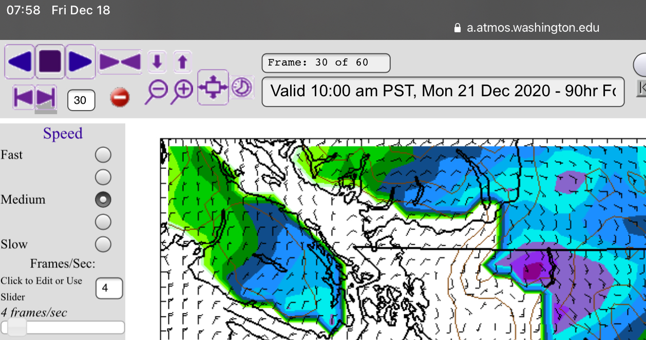
That south passing low could drag just enough cold air over the Strait and onto the Island to produce some strait effect snow particularly in Nanaimo and Cowichan. This is the picture for Monday morning below.


Expect possible snow from sunrise to noon Monday!
Unfortunately, that appears to be our best shot at a “white Christmas”, but hey, 4 days before isn’t bad and who knows some of it might just stick around until Friday in some spots. 🙂
Might get around -4°C on Tuesday.
Happy Friday!

