
Category: Wet
-
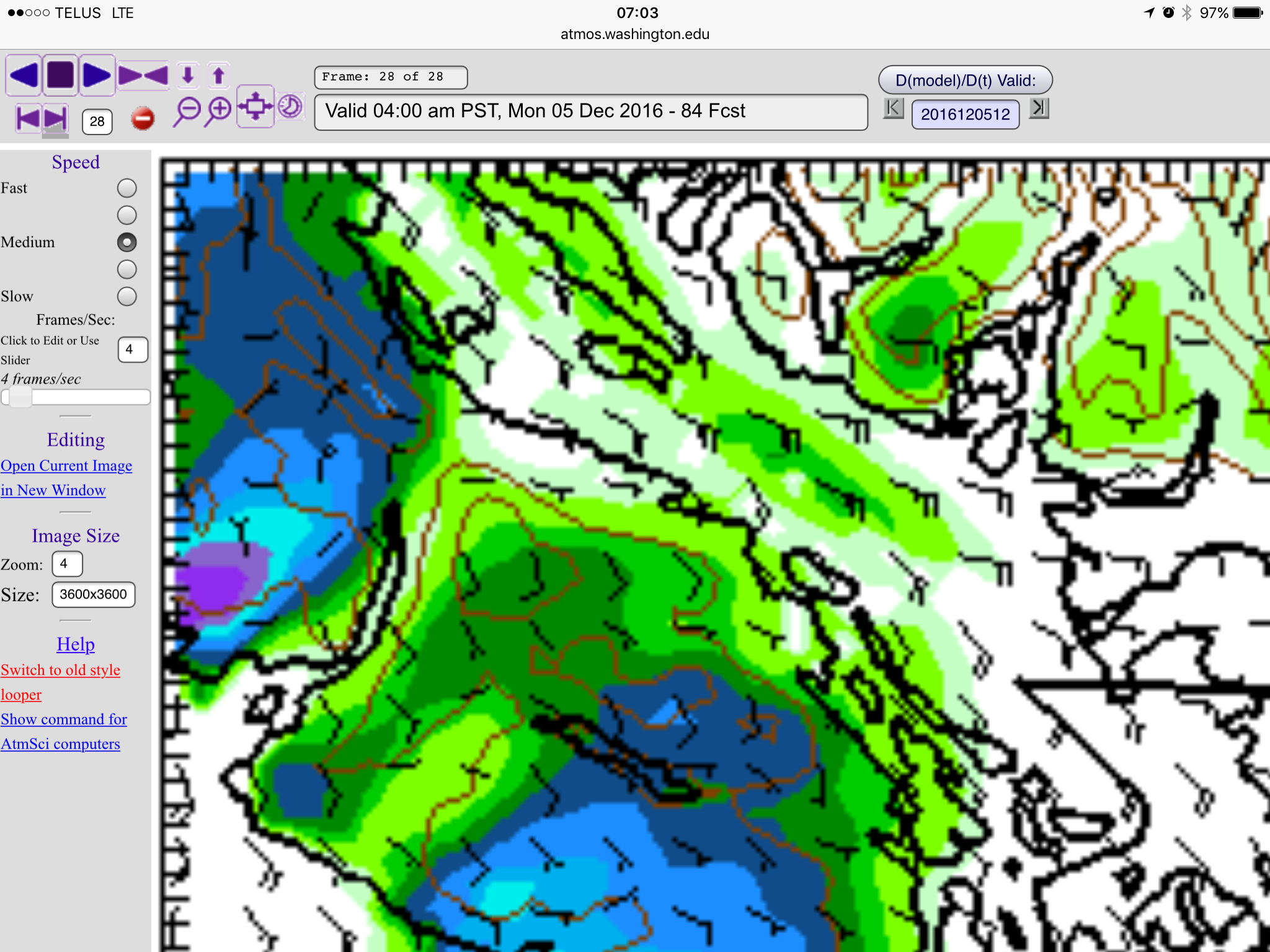
UPDATED 1PM Saturday —- Late Sunday Snow into Monday morning and evening
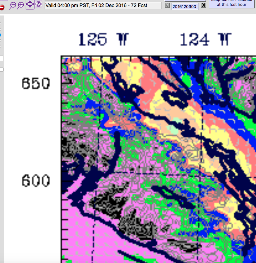
Update 1PM Saturday The morning high resolution models are finished and the forecast has refined a bit. Port Alberni will probably only get snow late Sunday night around midnight. After that, most of the chance focuses on the east side and will depend on the outflow winds picking up snow along the Strait and dumping…
-
Port Alberni escapes most of the rain today — Snow possibilities Saturday and next Week
We seem to be getting spared the worst of the rain this morning as it is raining more heavily in Nanaimo and Parksville than it is in Port Alberni. The UWash model predicted this last night: However it will still probably drizzle most of the day even if the overall total is not great. We…
-
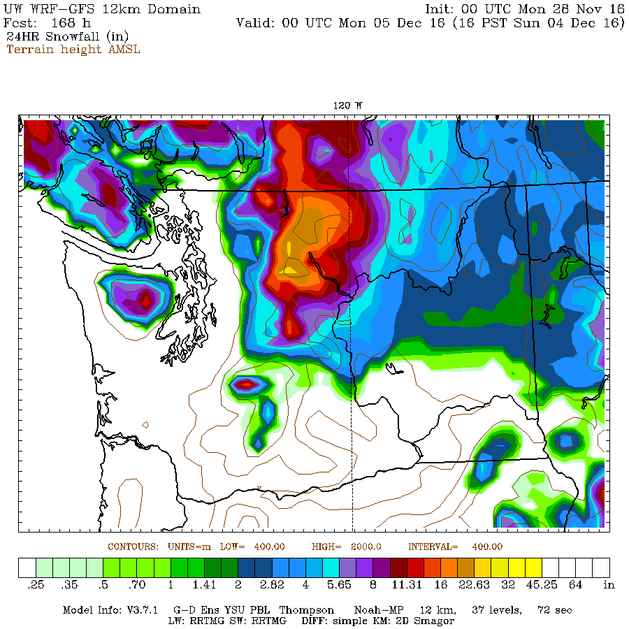
Risk of snow/slush at higher elevations — Possible lowland Snowfall Sunday
Monday and Tuesday will stay mostly dry but there will be a chance of showers both days from some unsettled weather lingering around. The next major system will pass through starting Wednesday night around 7-10PM. Temperatures are consistently hovering below 4ºC so that means if it rains particularly hard, the rain can shift to sleet…
-
Get lucky stuck between the rain storms? Perfect Grey Cup watching or Christmas Tree Decorating weather on Sunday
Interesting forecast this weekend. We have a few systems delivering rain to the region, but Port Alberni may just get spared the worst of it as some goes north of us and some goes south. On Friday morning the models have us with a chance of showers this morning until about 10AM. But interestingly it…
-

Snow and Sleet Falling – Careful Out there!
The forecast was just updated to reflect a little more accurately what is going on out there… and that is wet snow! Check the Webcam page Webcams for updated imagery from the Hump and Sutton Pass. Unfortunately the Hump is offline right now but here is Sutton Pass right now. Poor Visibility! ;=) There was…