
Category: General
-
Happy New Year’s Eve! First look at first rain storm of 2019 on Thursday
I hope all of you have had a chance to spend time with family this Christmas and here we are now, the last day of a very eventful 2018! The weather never stops of course, and we do have what looks like a signficant rain event shaping up for Wednesday night, through Thursday and into…
-

Snow after Christmas Dinner and Boxing Day?
We could still see snow on Christmas! We have precipitation coming into the area at about 9PM. Will it be rain or snow? Probably a bit of both. Whether it sticks and how much will depend on your elevation and proximity to water. Details on timing and locations below. Here’s some of my dash footage…
-
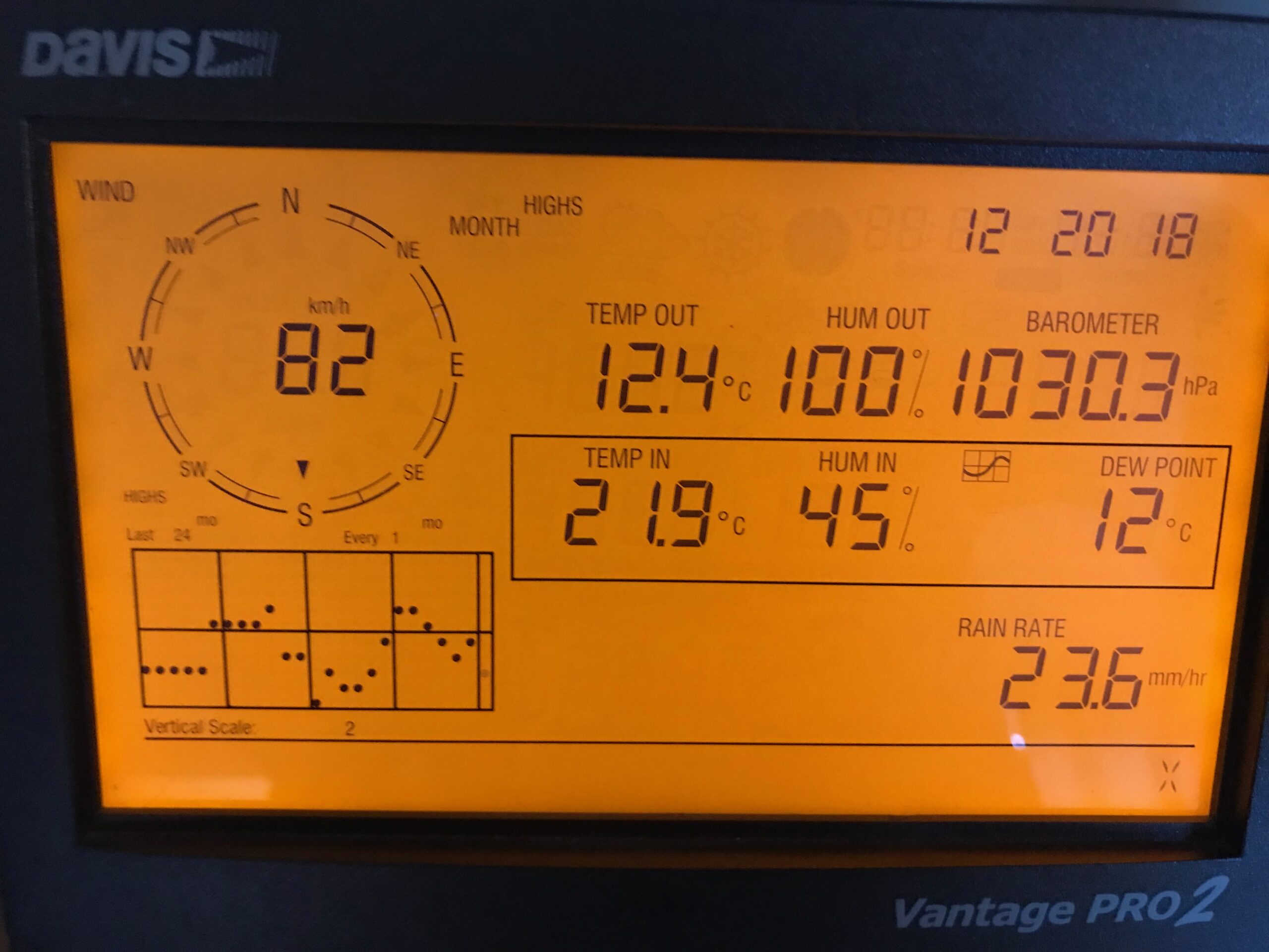
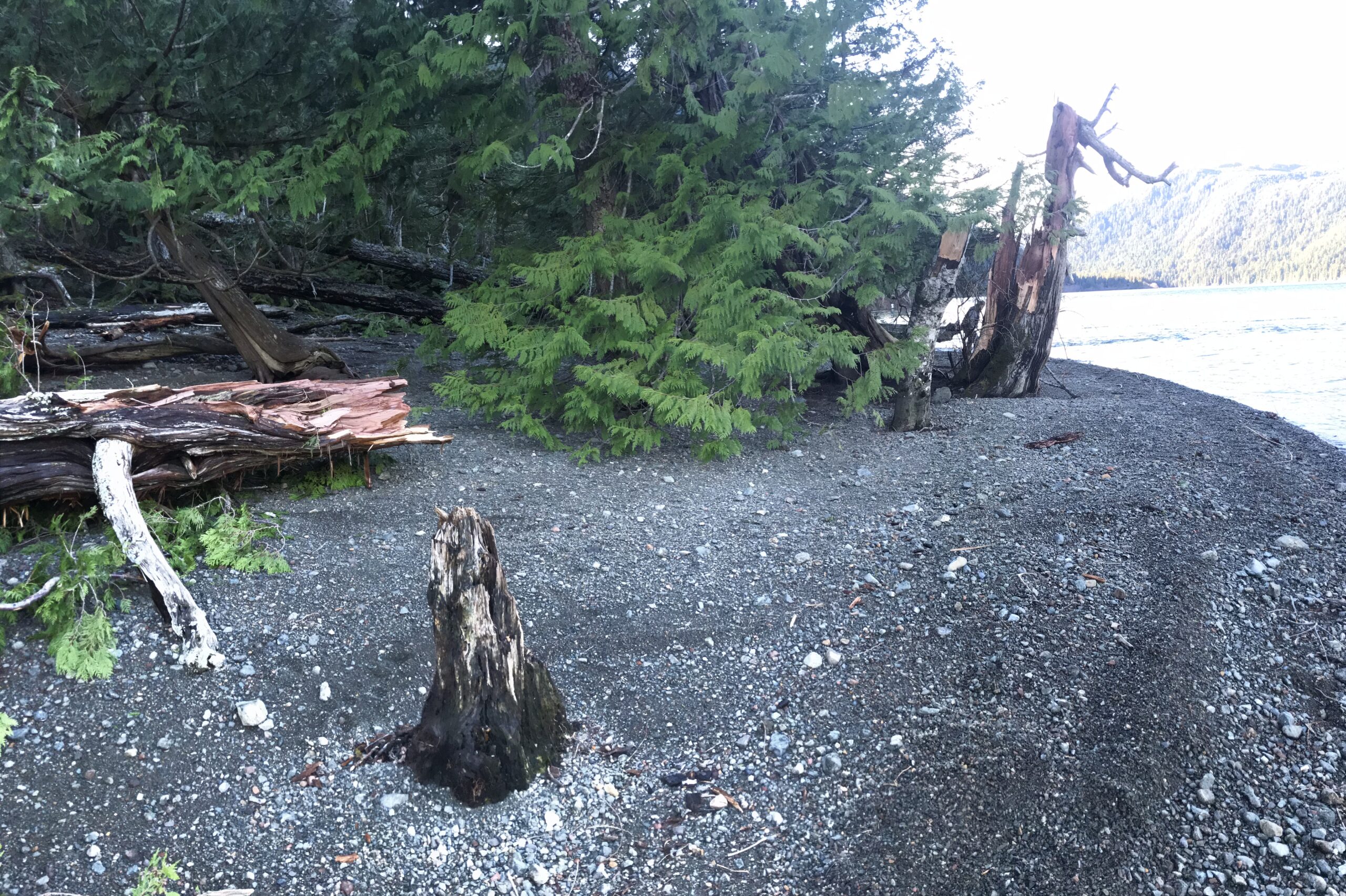
Winter Solstice – That Storm – And Snow.
The First Post of Winter! We just passed the Winter Solstice at 2:23PM this afternoon. So in honour of the shortest day of the year, and after the epic day we had yesterday, this will be a short post! 🙂 The picture above is of the highest wind yesterday. It peaked at 82kph (51mph or…
-

Already minor flooding from rain. Wind Warning mentions Port Alberni specifically. Ferries cancelled.
It begins The storm is here. I have already recorded 40mm of rain on my station since midnight. Maquinna elementary has recorded 55mm. For the rest of the day, the most recent information will be at the top of this page and on twitter. Send in your reports by including the #alberniwxstorm hashtag on twitter…
-

More strong Rain and Wind Coming for Thursday.
Have you had enough rain? Since last Wednesday the Alberni Airport station has reported 262mm in the 7 day period! Normal for the whole month of December (1981-2010) is 344.6mm. Environment Canada has issued a Special Weather Statement for the storm tonight. I expect we will easily beat that normal rain amount this month, if…