
Author: Alberniweather
-

Clouds gradually clearing for pleasant weekend.
We should have seen our final bit of rain for June. There might be a chance of an isolated shower this afternoon but the general trend is for things to get warm and drier and sunnier. The charts from SpotX make this pretty clear. Don’t put too much stock in the actual temperatures on those…
-

A Couple more cool days, thunder Thursday before weekend heat
We were supposed to get rain showers overnight last night, but that didn’t happen. There will be a slight chance of patchy showers today but the true threat of rain will come overnight again tonight. Will it actually happen? It seems the models have had a really difficult time figuring it out exactly. We may…
-
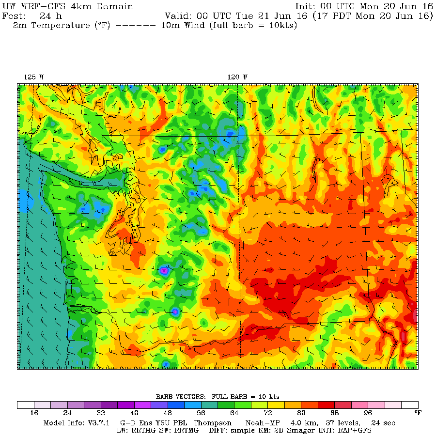
Happy Solstice! First day of Summer and nice week coming.
The first moment of summer comes today, June 20 at 5PM PST. It is going to be a perfect start to summer too especially tonight with a clear sky and a full moon! Make sure you go check it out tonight. We should get sun all day with only a few clouds. Highs will be…
-
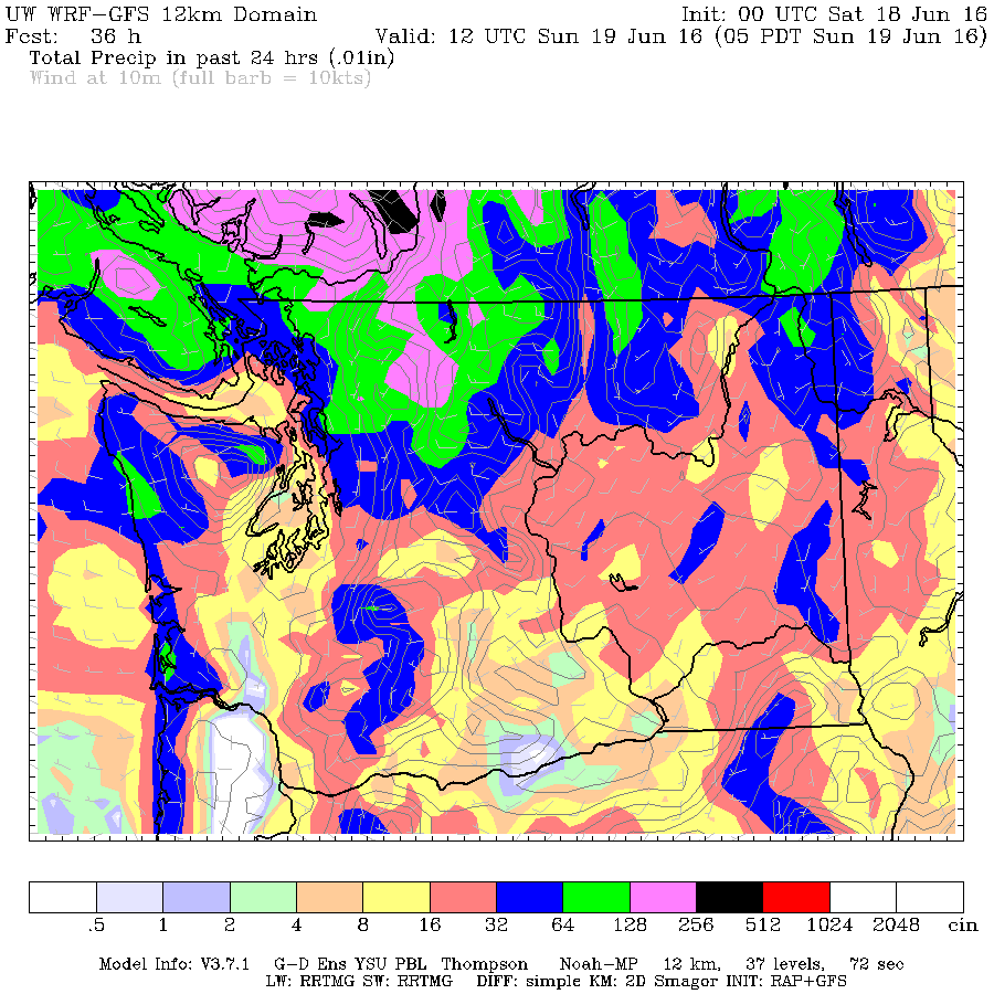
Record soggy Saturday possible but dry Sunday.
The rain has already begun in places and there might be quite a bit of it by the end of the day. There could be heavy rain today all over the Island so if you are camping near a stream please be cautious as water levels may rise very quickly. Read on!
-

Downpours and thunderclaps. One more day of wild weather
The unstable weather continues and there is some potential for extremely heavy downpours that people should be aware of on the mid Island including around Nanoose and Port Alberni. Click through for details.