
Podcast is up! February 25
You can subscribe to the Alberniweather Channel on Youtube.
One model says 40cm this week – But that’s crazy
After a calm couple of weeks we have a lot going for the end of the month! Areas north of Campbell River are already experiencing snow. Check out Woss!
I don’t expect this weather to make it down to Port Alberni or the South Island tonight but you might see it in Campbell River or Courtenay. So beware if you’re headed that direction.
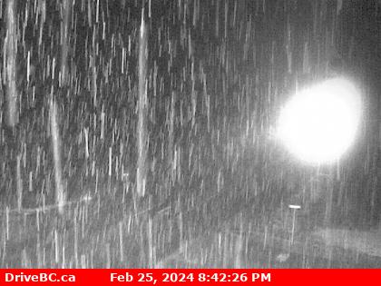
We might see some flurries overnight and Monday morning as some bands of rain move down the Island. It should not amount to much but if you are on the roads the conditions might change quickly.
There will be bands of snow localized along central Vancouver Island on Monday. Watch for changing conditions on the roads!
SpotX says we might get 40cm by Friday, but the UWash (and possibly EC) say zero accumulation. While we might end up somewhere in between that, it’s also a good chance we won’t see any real accumulation at all unless you look to the mountains.
The good news is this will fall as snow at higher elevations so our historic low snowpack will improve slightly.
That’s all for tonight! Have a great night and watch out for snow!