

Special Weather Statement issued.
Environment Canada has Special Weather Statements for the entire South Coast.
These statements are likely to convert to Warnings, wind, snow and/or rain in various places by tomorrow. Keep an eye our for them.
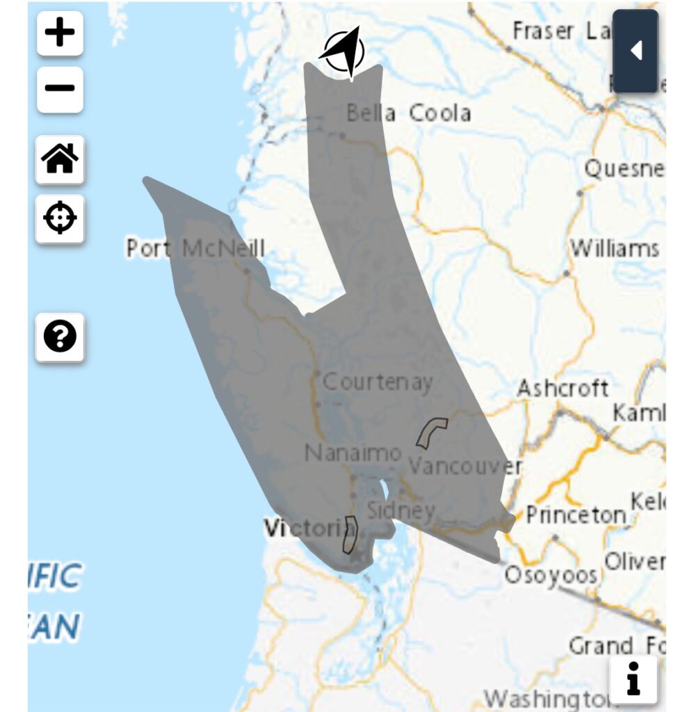
Here is what they say for Inland Vancouver Island.
When: Monday and Tuesday.
Hazards: Significant snow accumulations for inland sections of the central and south coasts. Potential for snow at sea-level along the coastal sections of the south coast and eastern Vancouver Island followed by heavy rain. Very strong winds for western and southern Vancouver Island.
Remarks: A series of storms will bring winter weather conditions along the BC coast from Monday through Tuesday. On Monday, there will be the potential for snow to reach sea-level along the coastal sections of the south coast and eastern Vancouver Island. Mild air moving into the region will help transition any snow to rain by Monday afternoon.
For Monday night, the rain will become heavy with the most significant amounts expected for West Vancouver Island. Inland sections and higher terrain will be cold enough for snow on Monday.
The snow will become more intense on Monday night and significant snow accumulations are expected.
Additionally, very strong winds will develop on the west side of Vancouver Island for Monday night and continue into Tuesday.
These winds will reach the inner south coast on Tuesday.
Weather warnings may be issued as the event nears.
ECCC Sunday Jan 7
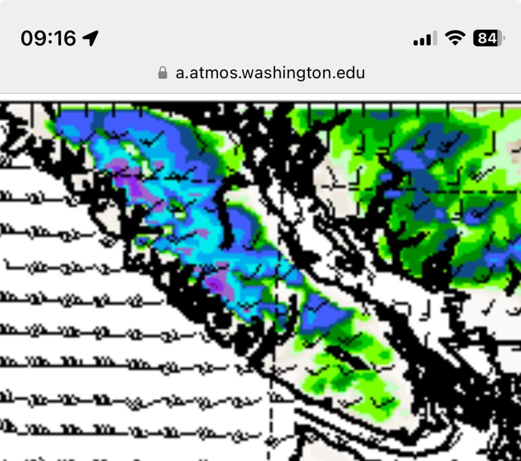
Timing and Model imagery
Expect rain and/or snow to begin early Monday morning. The image below shows snow showers across most of Vancouver Island in the 1-4AM hours. I don’t think we will see large accumulations. Maybe up to 5cm at the extreme. Mostly just a nuisance on the highways.

It also show southeasterly winds offshore starting to rise in intensity.
It looks like some easterly outflow winds will bring heavier snow in the 7-10AM in Duncan, Nanaimo, Parksville, Courtenay
Surton Pass and the Hump show mid morning snow here too. It does not show any snowfall in the Alberni Valley but I would expect sleet or snow.

Snow should taper off or switch to rain by sundown across most of the Island but it might be windy as well.
Heavy Campbell River snow plus wind
By 7PM the model expects heavier snow to start near Campbell River. See blue areas below.

It should be brief as we get ready for the bigger issue Tuesday
Stronger system Tuesday could be heavy snow
We have a Pacific system packed with moisture incoming Tuesday. Right now the model has snow for the North Island and rain for most of the South.
You can also see very strong Westerly and SouthWesterly winds.
I will wait until the new models tonight or tomorrow morning before putting more information up but suffice to say Tuesday could be a mess! There is potential for 5-10cm of snow.
Stay tuned!