

New Podcast Up
Here’s the latest if you want it in YouTube Form – Like and Subscribe!
Expecting a break by Wednesday Night
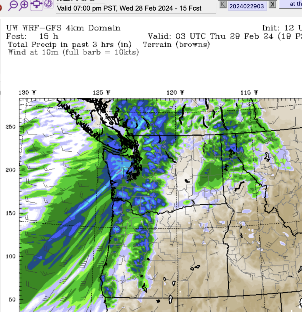
Heavy rain will continue over most of the Island today as we wait for this system to move down. You can see that by 7PM it has moved down most of the Island with Lake Cowichan getting the last remnants.
In its wake we will get some breaks from rain or snow, but the cold air will also return, so any precipitation that does fall could be either snow or rain.
Here is the rain (grey) and snow (green/blue) picture for Thursday morning. Notice the patchyness. It will be difficult to predict when and where and what kind of precipitation will fall.

In this particular period 4-7AM Thursday, you can see snow in the Courtenay, Campbell River and Port Alberni area, but light rain around Cowichan, the West Coast and Nanaimo.
If we look at the 24hr picture, from 4PM Thursday to 4PM Friday there is some snow predicted for almost all regions. (purple being heavier)

The same is true from Friday to Saturday afternoon though more is focused on the East side of the Island.

We should get a break on Sunday but expect rain with slightly warmer temperatures next week.
I’ll update again on Friday as long as the snowpack data is updated so we can see how this storm has improved that situation.
Stay safe out there, especially on the highways. Conditions will be changing frequently over the next few days!