-

Update 4PM Saturday — Final Snow Flurries of Winter (hopefully!) through Tuesday
4PM Saturday – East Coast and Greater Victoria Snowfall Warning issued. No warning has been issued for the Alberni region, so the Special Weather Statement still applies. Here is the warning for the East coast: 3:34 PM PST Saturday 04 March 2017 Snowfall warning in effect for: East Vancouver Island Snowfall, with total amounts of…
-
March is here! Spring is… not. lol.
Today (March 1st) is the first day of meteorological spring! So that means flowers and blossoms and warmer temperatures… or at least that’s what we might expect in some other year. This year it means it’s probably going to snow again on the weekend. Ya. Sorry! Don’t shoot the messenger! 😀
-

Light snow continues in Nanaimo – Mostly Dry Monday then Showers Tuesday/Thursday and cooler late week
It’s still snowing in Nanaimo. https://twitter.com/chrisalecanada/status/836235059476606976 I swear this winter may never end! We are expected to stay below our normal 10ºC average this week and it will be cool in the mornings with temperatures regularly at or below 0ºC. We should get a new bout of showers starting Tuesday afternoon. Nothing serious, and…
-
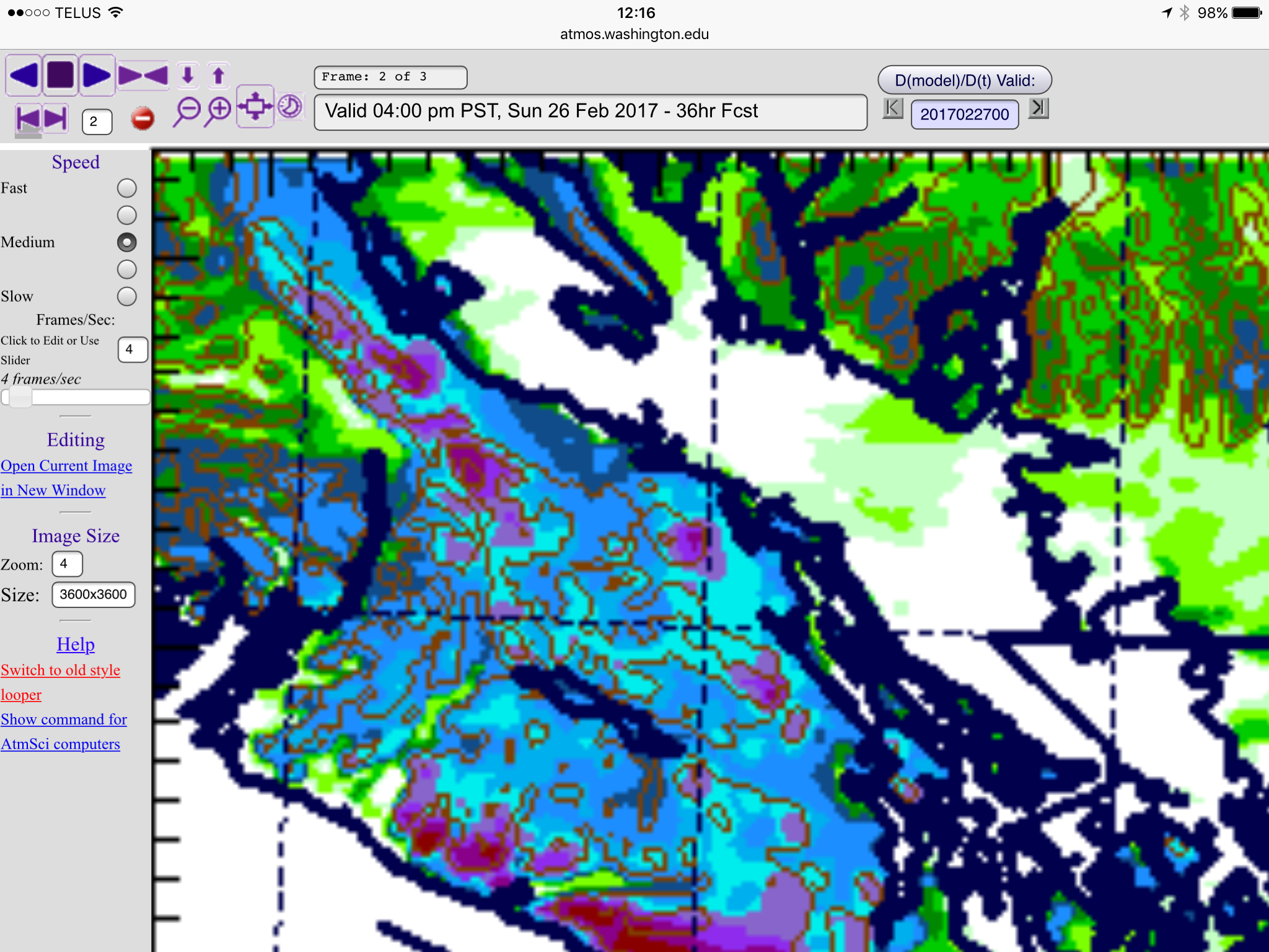
Snowfall Warning for East Coast 5-10cm Port Alberni
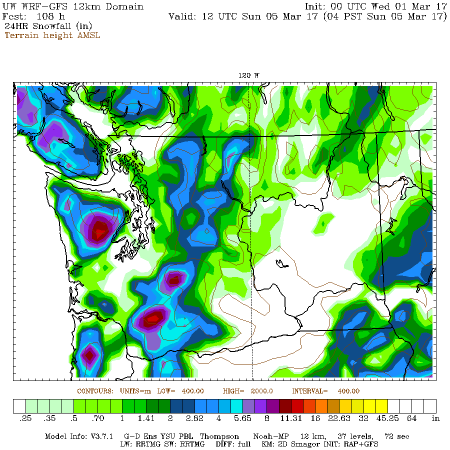
Expect snow to start late tonight (after midnight). I have posted the imagery below for the period between 4PM/4PM Saturday/Sunday. You can see Port Alberni is expected to miss most of the snow and fall as rain instead but this is dependent completely on temperature so if we are at or below 2°C then expect…
-

Light flurries this morning – More potential on Sunday morning
There were light flurries on the whole drive between Port Alberni and Parksville this morning. The roads were only wet however though there are some reports of snow sticking in the Qualicum area and at higher elevations in Port Alberni. UWash has the south east corner of the Island around Cowichan and the Gulf Islands…

Watching the Port Alberni Weather since 2005