

Brrr!
It was the coldest night so far. We set a record at the Airport since 1994 of -11.5ºC but it was nowhere near the record. This day in 1950 we reached -21ºC in Port Alberni and -25ºC in Beaver Creek.
Why is it so cold? A Podcast and Forecast
I’ve made a podcast this afternoon looking at the temperatures we’ve had, the records we did and did not set, and why this pattern is occurring. (hint: Global Warming –> Wacky Jetstream –> Polar Vortex/Heat Dome)
Heads up for East Coast Snow Tuesday/Wednesday
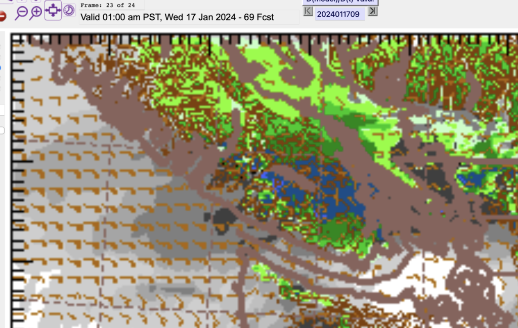
The models are pretty solid on a snow event for the East side of Vancouver Island on Tuesday as a system comes in just to the south of us. The Arctic air will be drawn out of the Interior by easterly winds and so there is strong potential for 5-10cm of snow on the East side of the Island from Nanaimo to Duncan. This one will be less likely to impact Port Alberni.
Snow/Rain Warmup event Thursday
The bigger dump of snow and rain for Port Alberni will come on Thursday morning as a strong Pacific system tapping into tropical moisture dumps that moisture on the Island. I would expect if we have not warmed up after the Wednesday event, then this could be a major snow event in Port Alberni. It is still far out in the forecast but the conditions are set as of now for a clash that will cause a big mess.

Rain will persist into Friday so I would expect by then that most of the snow at lower elevations will be long gone.
Check out the Podcast, Like and Subscribe!