
Category: Storm
-

Wild evening! Thunderstorms still on the maps.
Well that was unexpected! We had quite a strong hunderstorm last night including a clap just before 11PM last night that shook my house and by the sounds of others online, a few others too! Below is the current enhanced radar picture from Wunderground’s STORM app. It is still detecting lightning over the south island…
-
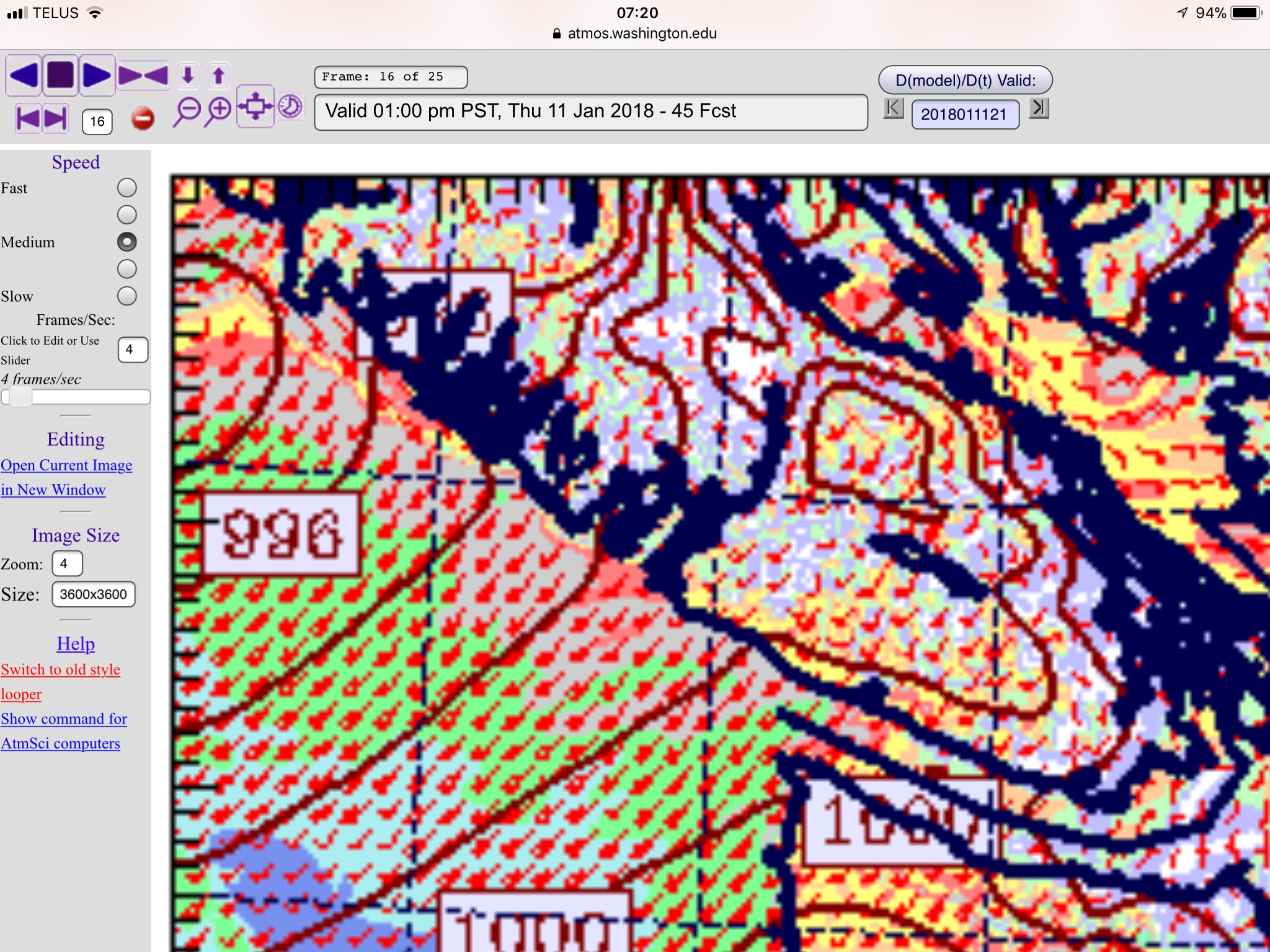
Staying mostly dry Wednesday, rain and wind overnight and Thursday.
Earlier in the week there was a chance we could see two storms. That threat has gone down to one so that’s good news! However, it has been a while since we’ve had a bunch of rain. Showers should start in the 10PM-1AM period. The heaviest rain will be in the 7-10AM period when it…
-

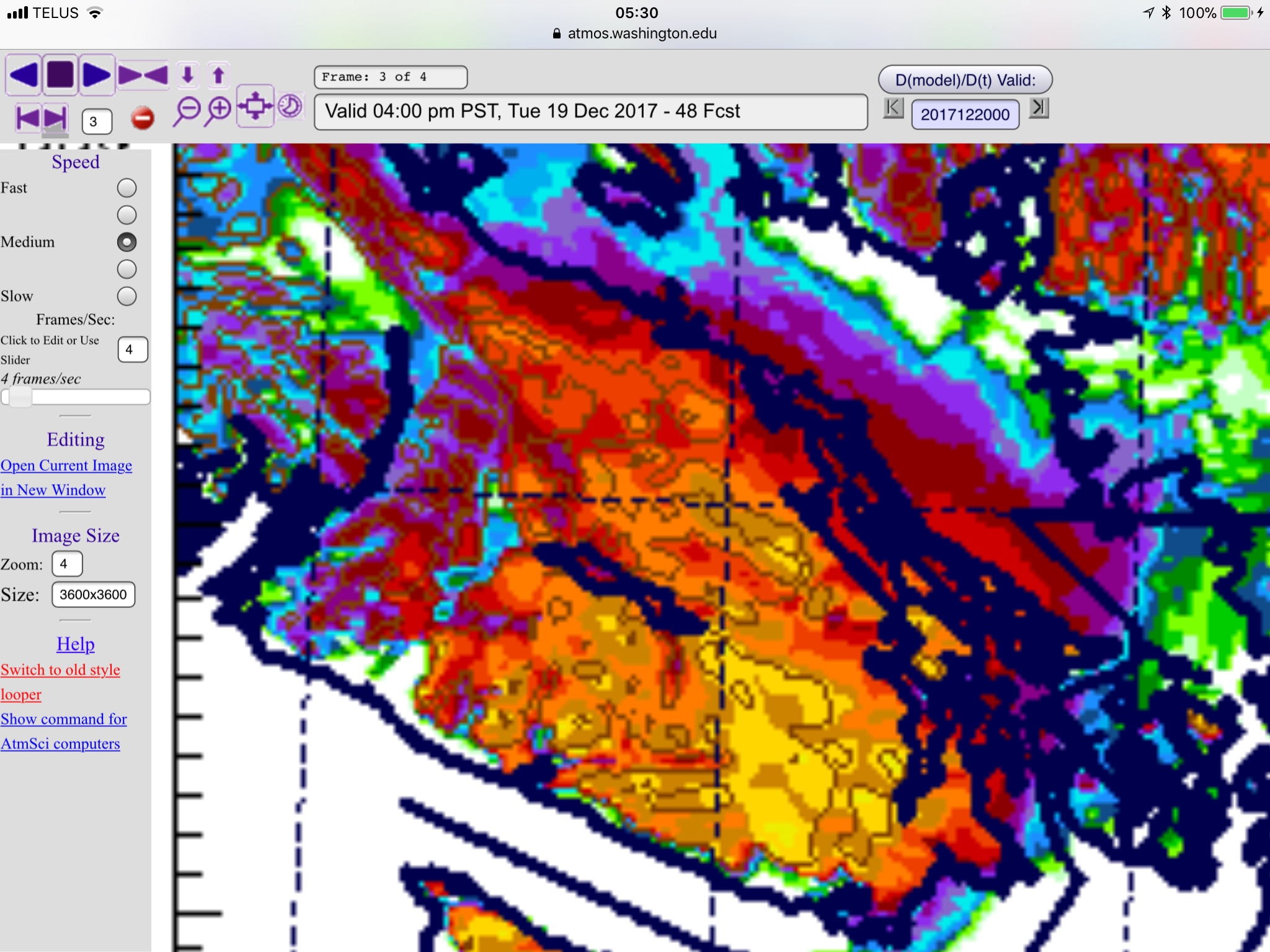
Monday Rain All Day – Break Tuesday then stormy Wednesday and Thursday
Welcome back to school! Monday will be all rain all day. It will stop overnight and then we will get a break on Tuesday. The next rain will begin late in the morning Wednesday with heavy rain in the 11AM-1PM hours.
-
FINAL UPDATE TUESDAY ——— Snow possible Tuesday especially East and South island. Full Details!
UPDATE 5PM — SNOWFALL WARNING ENDED — Still snowing around Cameron Lake. Things should begin to die down but be careful around Qualicum Falls and Cameron Lake. There is still snow coming down. UPDATE 11AM — MAJOR ROAD DELAYS — INCLUDING PROPANE TRUCK on Highway 19. This is enough to scare you….…
-

Rain returns late Monday evening. Showers Tuesday/Wed. Rain Storm Wed Night
11AM Flood Warning Maintained Current text: Flood Warning – Somass River (MAINTAINED) ISSUED: November 27, 2017 11:00 AM The River Forecast Centre is maintaining a Flood Warning for: Somass River including Sproat River, Ash River and tributaries A series of frontal systems moved over Vancouver Island last week and over the weekend, saturating the soil…