Category: Climate Change
-

September 2016 Summary and Outlook – Happy Thanksgiving!
Hot August fades into warm and wet September. Happy Thanksgiving! September sent us back into what felt like a pretty cool pattern. We actually set two short term low temperature records at the Airport at the end of the month and one short term rainfall record at the beginning of the month. Neither record beat…
-

Fog will lift revealing sunny, warm day! Arctic ice minimum records, global heat and ocean currents.
(I am hoping this post again goes out properly to email subscribers. Apologies for the disruption, the plugin delivering that service was causing other issues and I didn’t realise it was also handle email subscribers.) The fog this morning will lift hopefully before noon and the clear skies above should allow us to quickly heat up…
-

Switch to Cool Wet for a few days – Climate Change causes Cedar trees to freeze
After two weeks of pretty consistent heat, there is a definite shift in the pattern as the ridge of high pressure has broken and the jet stream positions itself closer to our area. The top image is the jet today. You can see it looping around a low pressure area that will bring some showers…
-

Summer heat continues. Global nuclear bomb count rises. Climate action scarce
UPDATE Thursday 3:45PM Currently hotspot in Canada! Woot! original post below Wednesday August 24 We are back into a few days of nice summer weather as we reach for highs above 30°C on Wednesday, Thursday and Friday. The hottest day will be Thursday when we can expect a high of 34 and humidex of 36…
-

Heat backs off but summer continues. Extreme Fire Danger
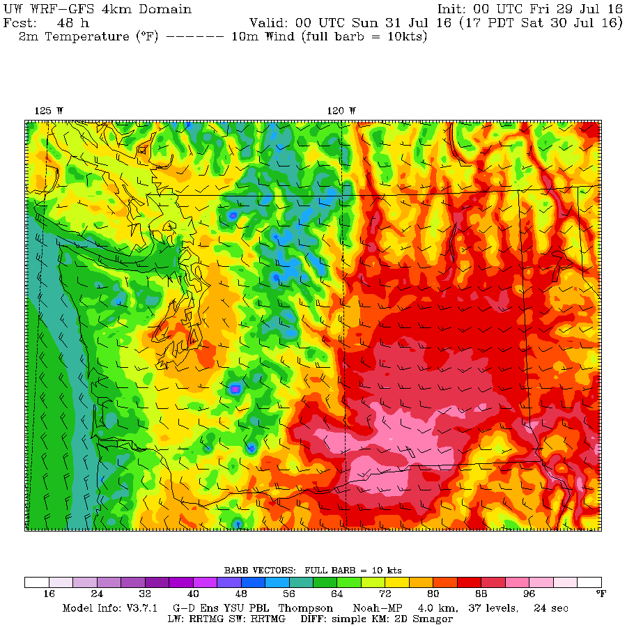
A great run of weather is going to continue into BC Day Long Weekend. By the end of today (Friday) we will have been over 30°C six days in a row. The highs were closer to the UWash model thankfully than the EC forecast earlier in the week so we didnt get up to 36°C as…
