
Category: Climate Change
-
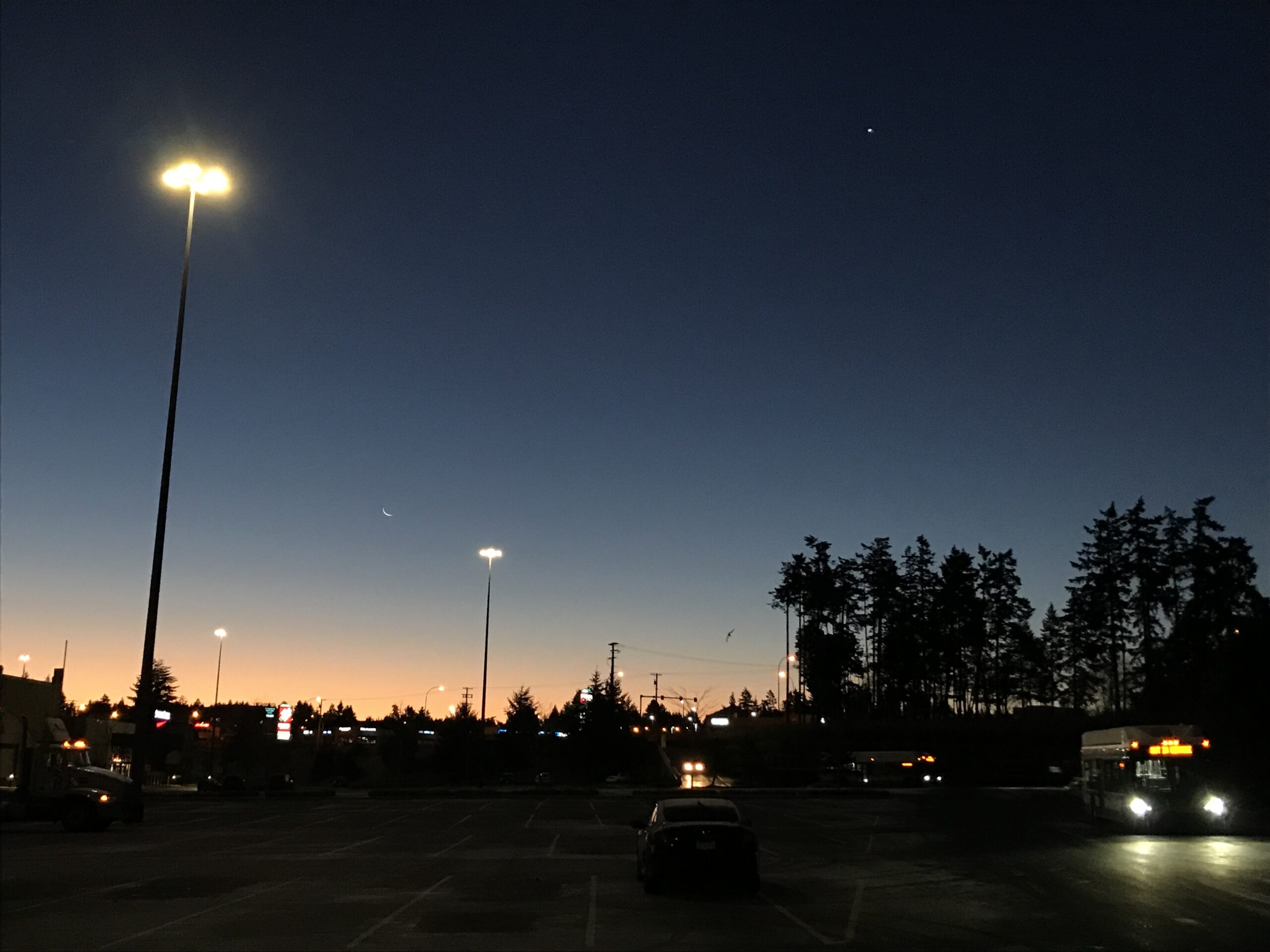
A few more cold days. Then analyzing the chance of snow on Friday night.
We are into day 2 of our first cold snap of the winter. Watch for frost and black ice. Also, if you have a clear view of the horizon (ie. not encumbered by Mt. Arrowsmith or fog) check out the moon before the sun rises! And if you can’t, then do the next best thing…
-
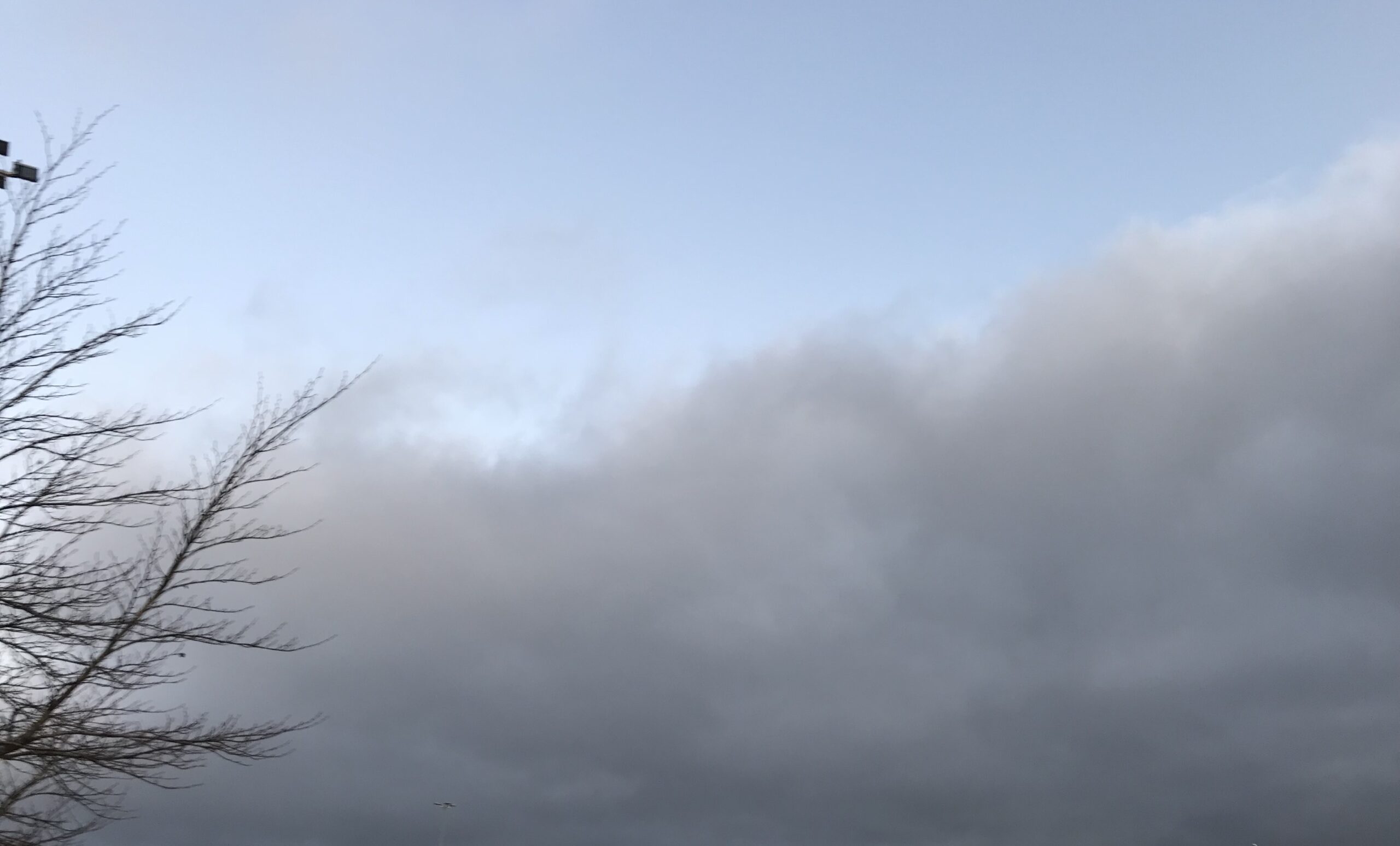
Cool and sunny – Possible frosty Thursday – Showers Friday and about the Blob and a BC Volcano.
Time is running out to enter the snow contest so don’t forget to do that before next Monday! Click here to enter. We have a nice day coming after the marine layer burns off. That marine layer has crept over coastal parts of Nanaimo this morning as you can see in the picture. It should…
-

Variable weekend. And the (predicted) return of The Blob.
There will remain a chance of showers most or the day today but it should mostly be a day of transition. It was windy around Cameron Lake this morning with plenty of leaves and a few branches on the road. The clouds were rushing by the full moon in the western sky. Saturday should remain…
-
Sunny and Warm! – But Why? The Answer lies to the North.
The forecast is so easy. Sun. It’s going to be sunny and warm all the way into the weekend. We will be close to record highs at the Airport as well. Our record for today is 22ºC. That’s not out of the question today or tomorrow. (That means there’s no excuse not to vote 🙂…
-
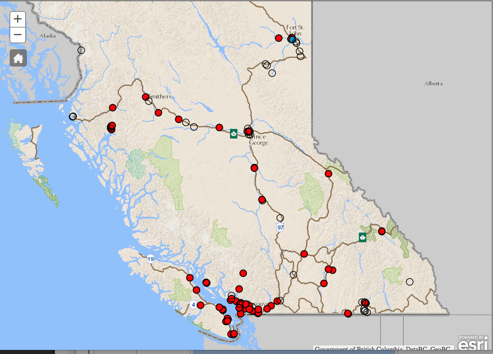
Every Sensor in BC over 25ug/m3 “red” – 900ug/m3 in Houston – No significant rain expected – People awakening to Human-Caused Climate Change
The provincial map from bcairquality.ca says it all. There is no good air in any community measured this morning. The entire province is under a blanket of smoke and it is affecting air quality in all regions. The hourly readings are not better. Only 2 stations in the province, Terrace and Smithers are currently…