
Start of the week calm and probably foggy
Expect foggy conditions to persist over most of the Island through the week as we hang out in fairly calm conditions. There might be some drizzle or light showers associated with it but for the most part it will stay dry until Thursday.
Thursday light rain or snow
A week system moves down the Island on Thursday night and into Friday morning.

This will probably be only a rain event, as we can see from the grey areas in the image above, but there is a chance for a mix of rain and snow at higher elevations. It will be gone by Friday afternoon.
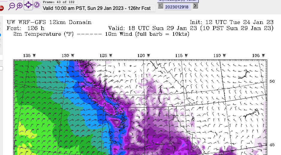
Cold Change over on the Weekend – South Island snow?
You will have likely heard about another shot of below-normal temperatures starting this weekend.
It looks like the cold air will move in front the Interior overnight on Saturday.


By morning we see below -10ºC in the Fraser Valley and parts of the Island.
I won’t go into detail on specific locations until we get closer to the day since these things change. However, there does appear to be a chance of some Strait-effect snow on the South Island, south of Nanaimo, as the cold air crosses over on Saturday night.

The picture above is for Saturday evening.
Snow next week
There looks to be a chance of snow early next week as well but we will hold off on any big predictions for now though at this point it does not look major.

Happy Tuesday!