-

ALL CLEAR —- WARNING CANCELLED —— MAJOR EARTHQUAKE IN ALASKA
ALL CLEAR ALL CLEAR TSUNAMI WARNING CANCELLED. —- “Safe elevation areas” (more than 20 metres above sea level in brown in below image). Johnston Road -> Above Tracks Top of Watty’s Hill Falls Rd at Lugrin Golden St above Nelson Roger St -> Above Tracks Redford St -> Above 5th Avenue Argyle St ->…
-

Extreme west coast wind and significant inland rain coming tonight!
1:30AM Sunday (ya, ya, why am I awake at 4:30AM in Ontario? I dunno. :)) https://twitter.com/alberniweather/status/955009378830241792 EC has issued another wind warning for East and West Vancouver Island. East Island can expect up to 80kph and West up to 100kph. There is no warning for Inland sections but expect gusty winds and heavy rain…
-

Wild evening! Thunderstorms still on the maps.
Well that was unexpected! We had quite a strong hunderstorm last night including a clap just before 11PM last night that shook my house and by the sounds of others online, a few others too! Below is the current enhanced radar picture from Wunderground’s STORM app. It is still detecting lightning over the south island…
-

Fog lifting today. Rain overnight and through Tuesday building to rain Wednesday
Happy Monday! This should be our final day of fog for a while as the pattern changes to showers and rain for most of the week. The fog should lift this afternoon and showers should begin between 4-7PM this eveing. The UWash model has a break in the showers in the 10AM-1PM period on Tuesday.…
-
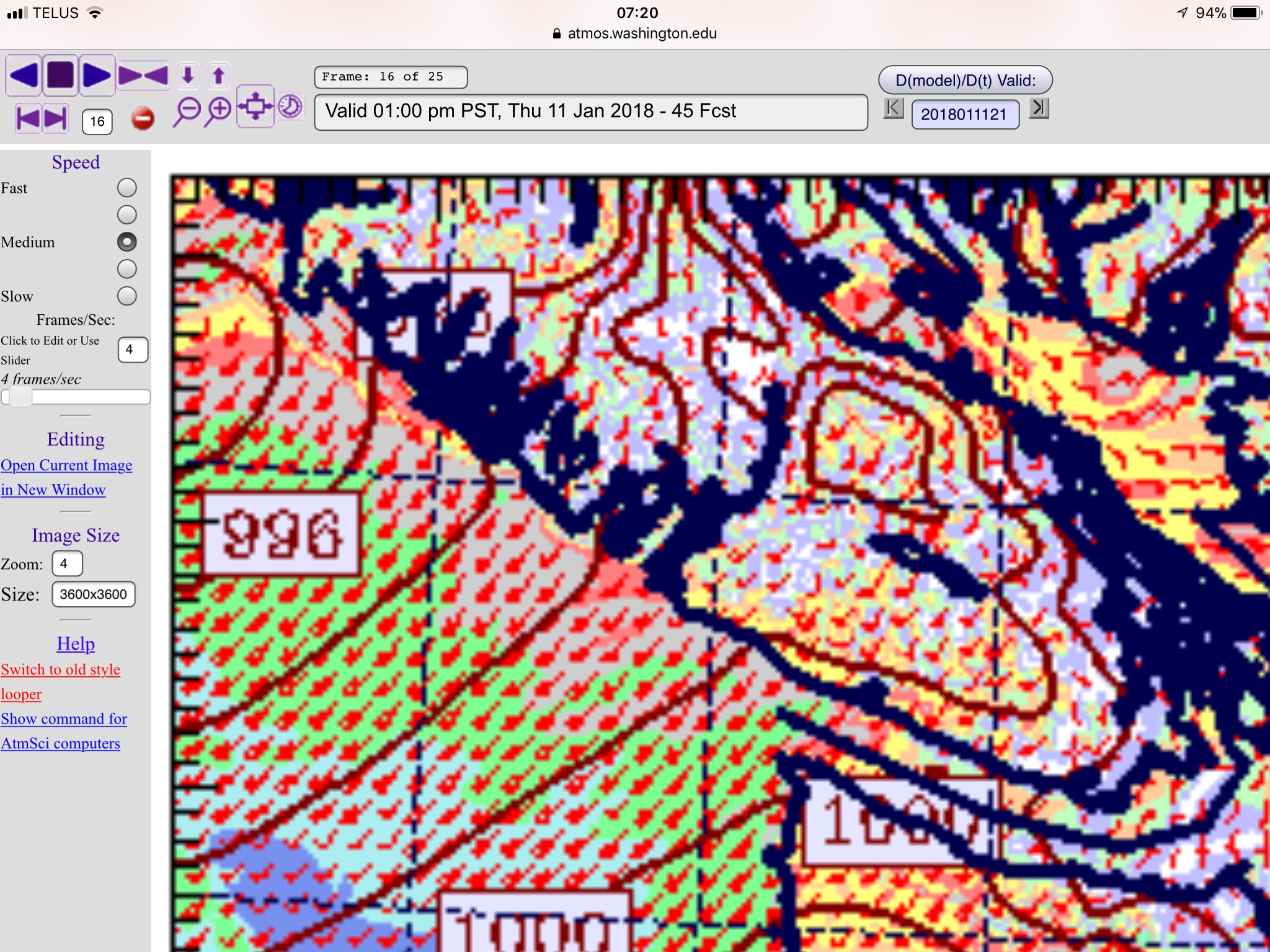
Staying mostly dry Wednesday, rain and wind overnight and Thursday.
Earlier in the week there was a chance we could see two storms. That threat has gone down to one so that’s good news! However, it has been a while since we’ve had a bunch of rain. Showers should start in the 10PM-1AM period. The heaviest rain will be in the 7-10AM period when it…

Watching the Port Alberni Weather since 2005