
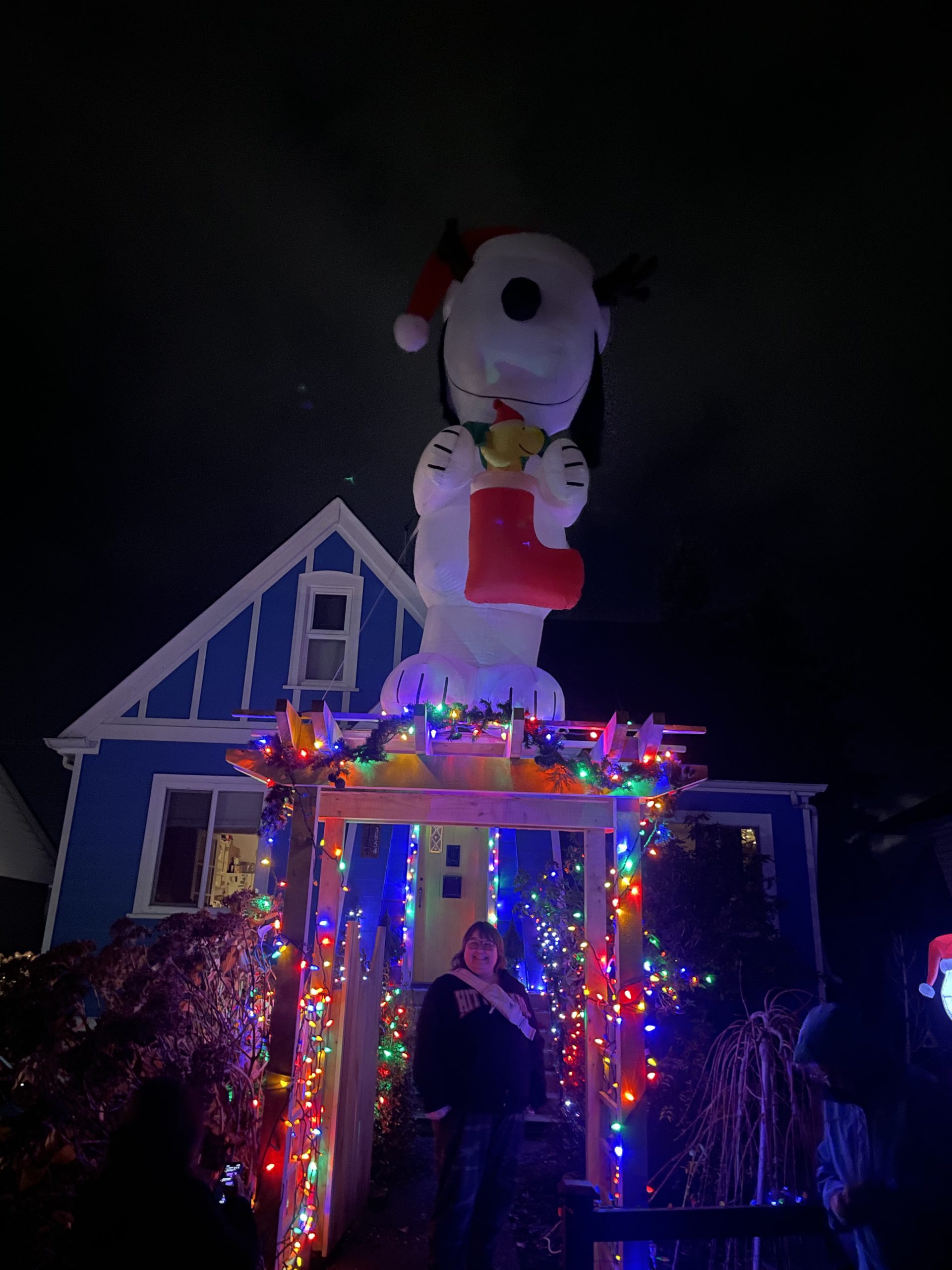
As the wind and rain reminds us that we are not in the snowiest part of Canada, we can still have fun seeing everyone’s amazing decorations! We finally managed to find time to put ours up yesterday at Alberniweather HQ!

I’ve updated the map with a new address on Southgate road and so I’ve modified the route to take in that unique little part of town.
The latest version of the map is always available at Alberniweather.ca/christmaslights.
The original is on Google Maps
There is now also a version on AllTrails as a “Scenic Drive”. I wasn’t able to import the individual addresses as waypoints automatically so I will add them manually when I have the chance, but you should be able to use the AllTrails App (Apple App or Google Play)
Green Christmas most likely – But could there be snow soon?!
This week will be windy, and wet. Our Christmas lights don’t like the weather much (always popping the GFI outlet!)
It is always a safe bet to say we will see a green Christmas. And over the last few years and decades since this blog has run, it has even become hard to guarantee any snowfall at all before February. (Partly why the snow-contest is no more.)
We are now just 2 weeks from Christmas week, and the models are looking… hopeful!
There is a marked cooler shift after this weekend and particularly into next weekend (19th/20th/21st).

We finally get down to near that magic 0ºC mark for an extended period of time starting on the 16th, and the trend appears to be gradually cooler as we approach December 25th.
There also appears to be moisture still coming into the region.

As with all forecasts greater than 7 days, this should be taken with a large grain of salt… but there is at least hope! The fact that all three Snow, Rain, and Freezing Rain appear as possibilities should mean we are guaranteed some sort of precipitation as we near Christmas, but what form it takes is very much an open question.
We’ll keep our fingers and toes crossed!