
Category: Cold
-

Snow for Christmas? Unlikely – but it will be around!
Expect cooler temperatures – Possible showers or flurries The forecast gives it away by putting “showers” or “rain” before “flurries” or “snow”. If that switches then you’ll know Environment Canada gives a better chance for white stuff. But for now it looks like we are just not quite cold enough for snow to be a…
-
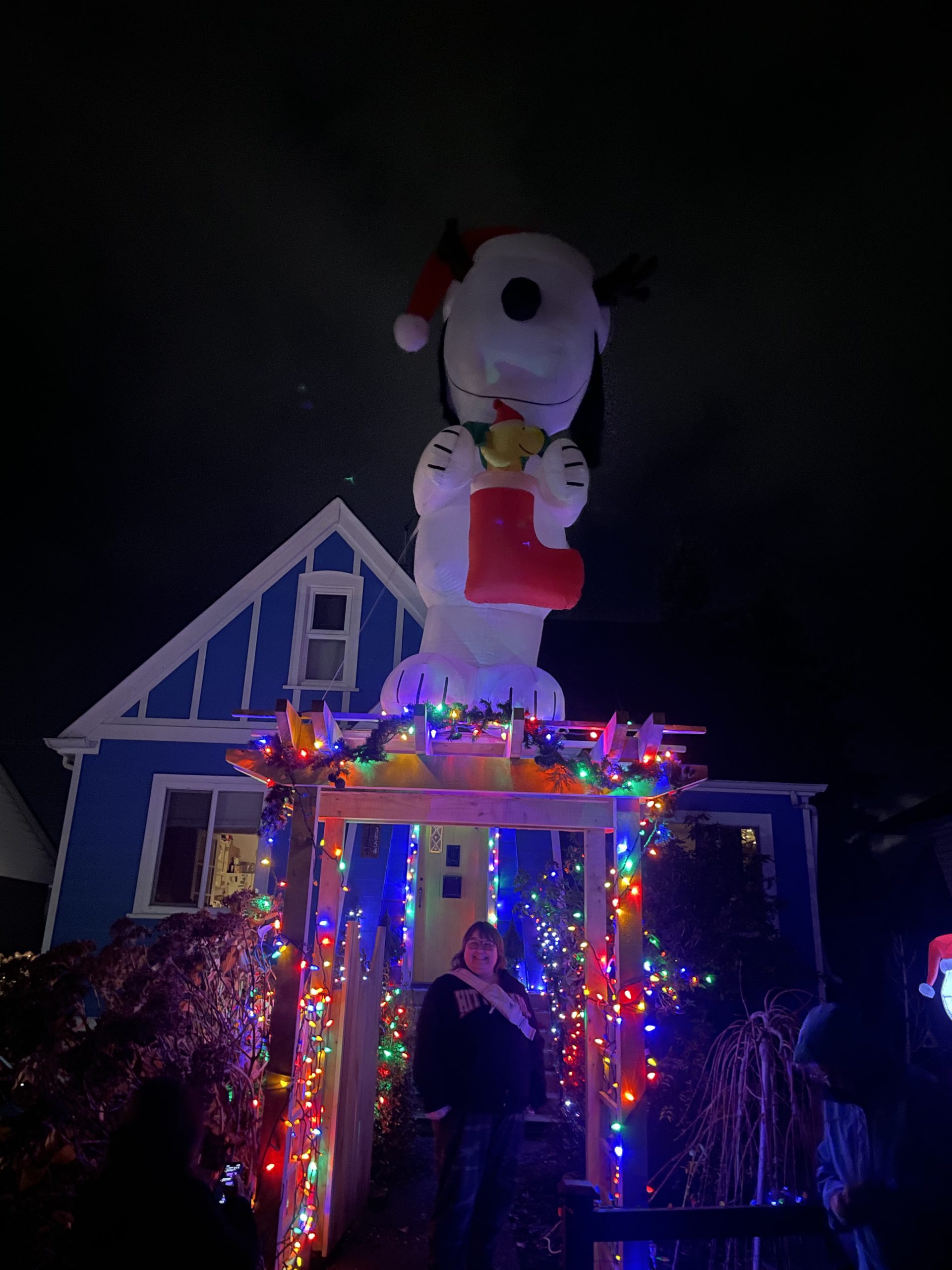
Christmas Lights Tour now on AllTrails and could there be a White Christmas
As the wind and rain reminds us that we are not in the snowiest part of Canada, we can still have fun seeing everyone’s amazing decorations! We finally managed to find time to put ours up yesterday at Alberniweather HQ! I’ve updated the map with a new address on Southgate road and so I’ve modified…
-

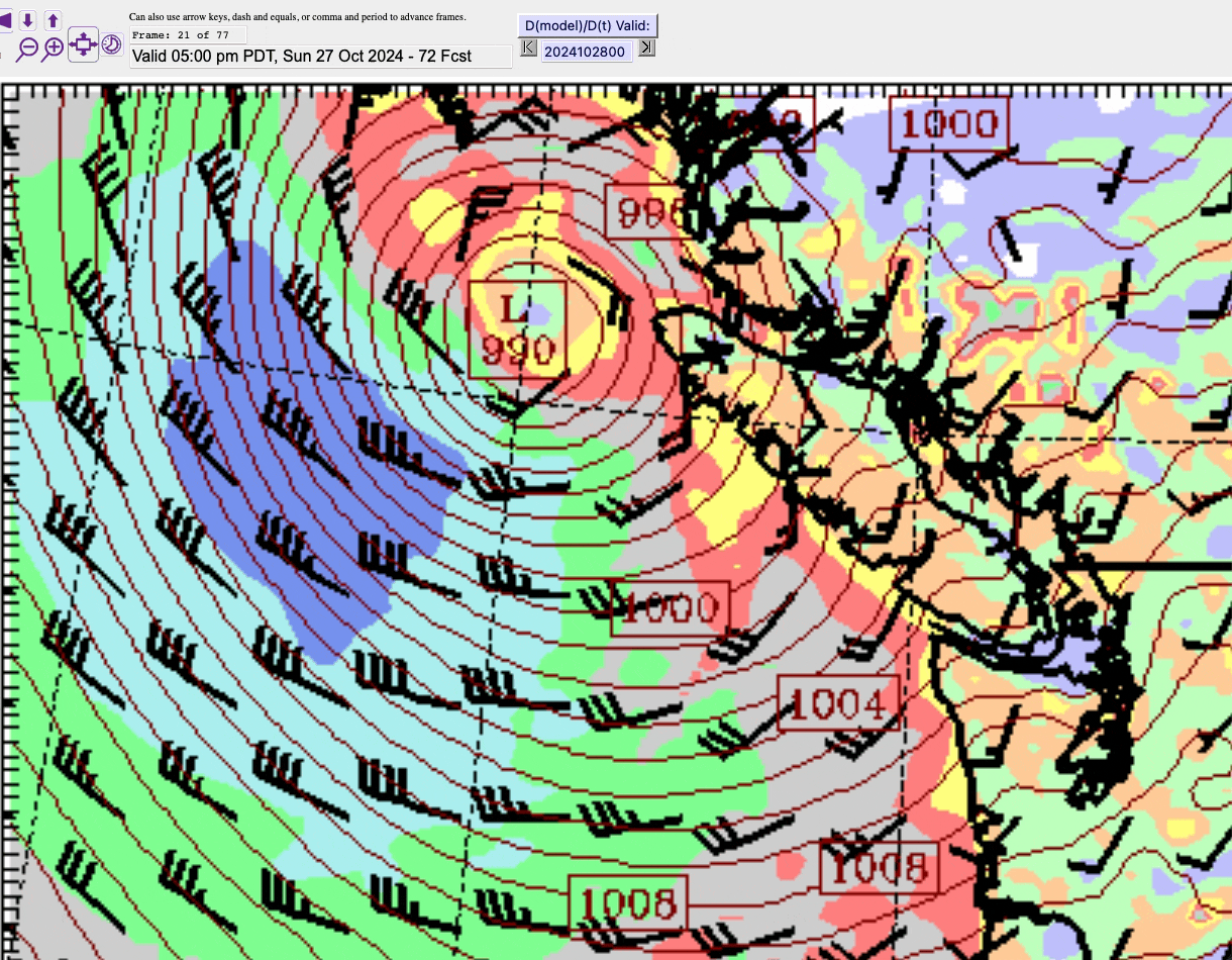
Snow coming!? Stormy Thursday night and Friday morning. Weekend snow.
A change is finally coming January has been…. A little boring! It has also been very very dry. We only had rain at the New Year and then nothing since. That will change Thursday night. First contact – Thursday night We should get one more nice day Wednesday with the fog clearing around noon. It…
-

Halloween Forecast and What is the “Gota Fría” that caused Valencia’s floods?
Showers off and on and cool for Halloween Here’s the Podcast for this post! The bad news is, it is going to start a little wet this morning. So if your goblins are headed to school in costume, I hope they had an umbrella and a warm jacket! The good news is for the trick-or-treaters…
-
Friday night Wind – Weekend Rain
Wind starts late tonight – Possible Ferry Cancellations late Friday, early Saturday Here’s the podcast for this forecast: The good news is that for anyone travelling on a ferry, the winds are not supposed to reach the Island until late tonight, after 11PM judging by the forecast models here. It will be gusty earlier on…