

Podcast is up
You can see the latest Alberniweather.ca Podcast here:
River Forecast – Data Shows High Flows
I’ve been looking at the latest data from the water meters on the Sproat and Ash rivers near Port Alberni. The current data shows the levels and discharge rates rising to 1y-2y period levels which means they occur every year or two years on average, and so are not unusual.

However, this is only the beginning of the event so it makes sense that the River Forecast Centre has issued their watch for flooding as we expect a lot more rain to come into the region over the next 48hrs.
From their warning issued this afternoon:
“Initial storms have delivered 50 to 160 mm through most of the region since Friday. Current forecasting is indicating the next atmospheric river event to make contact later on Sunday through Monday, and another system from Monday into Tuesday.”
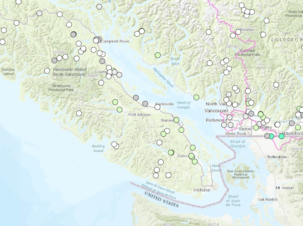
Hydrologic modelling is indicating potential flood conditions to develop in areas with the heaviest rainfall. On Vancouver Island this includes the Gold River, Salmon River, Somass/Sproat Rivers, Englishman River, Qualicum River, Chemainus River, Cowichan River and other surrounding rivers.
Timing for First and Second waves
The rain has begun in Port Alberni and the rain may seem to continue for the next 2 days straight though we should get a little break on Monday afternoon.
In the first wave for Port Alberni on Sunday we’ll see the heaviest rain likely around the 7-10PM period. Notice below the light blue area. This is predicting 13-19mm in just that three hour period.


As you’ll see if you check out the podcast, the atmospheric river lashes the Island first pointing toward the southern end (but not quite into Victoria, then shifting up toward the north end of the Island by Monday night.
This will cause a break in the rain for most southern sections of Vancouver Island in the 1-4PM period on Monday as you can see below though Courtenay and Campbell River will likely still see heavy rain.

It then takes one final swipe at the entire Island on Monday evening and night.

By Tuesday morning 4-7AM most of the rain has left the area except for extreme southern areas of the Island and a pocket in Vancouver and the Fraser Valley.

Totals – 72hrs (Sunday to Wednesday Morning)

The picture above is showing forecast rain for the 72 hours between Sunday morning 4AM and Wednesday morning 4AM. Expect amounts up to:
- Port Alberni: 76mm
- Sproat Lake: 125mm
- Kennedy Lake: 200-250mm
- Courtenay and Campbell River: 75-120mm
- Oceanside/Nanaimo/East Island: 40-50mm
- Cowichan Lake: 76mm
- Victoria: 10-20mm
New Webserver coming
I’ve secured a brand new web hosting situation that will cost more ($60/mo vs $12/mo) but should solve the errors and capacity issues I’ve had with the website of late. Thank you all for your patience. I hope that it will be up and running within the next 2 weeks!