Update 10:15AM.
My poor roof can’t handle much more. After the big storms in December with 100kph gusts, the meager 50-60kph gusts are causing some severe flapping of our shingles.
Update 10AM:
We’ve achieved a second peak wind gust late this morning of 61.1kph at around 9:30AM. The first peak was very early this morning around 4AM of 58kph.
This should be the final hoorah. Be careful of debris on the roads. This is Cathedral Grove.
The sun is breaking through now.
Lots of power outages on the Island too. Stay safe all. Enjoy your sunday.
Update 7PM:
The Canadian model has sustained winds of 30kph for us early tomorrow morning around 6AM. It does not give gust predictions.

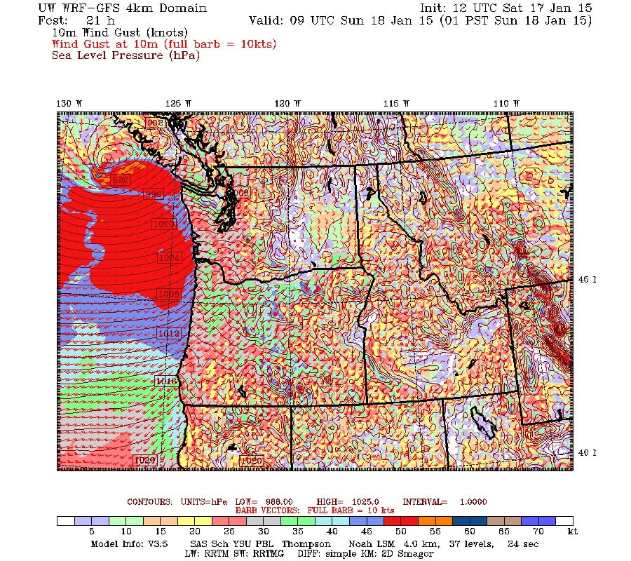
The US High Res short Range with gusts up to 50kph around 4AM

and the U.S. GFS gusts up to 60kph later in the morning.

Previous:
Pictures tell the story. From this morning’s latest run (9AM)


Environment Canada has not issued any warnings yet. Their special statement says they are expecting winds up to 80kph. We often don’t feel much if the warnings in the area aren’t in the 90 or better range. But you never know.
We should also get some heavy rain. Expect up to 60mm by Monday.


