
Category: Hot
-
Updated: Heat continues until Thursday. Possible record today. Extreme Fire Danger predicted Monday
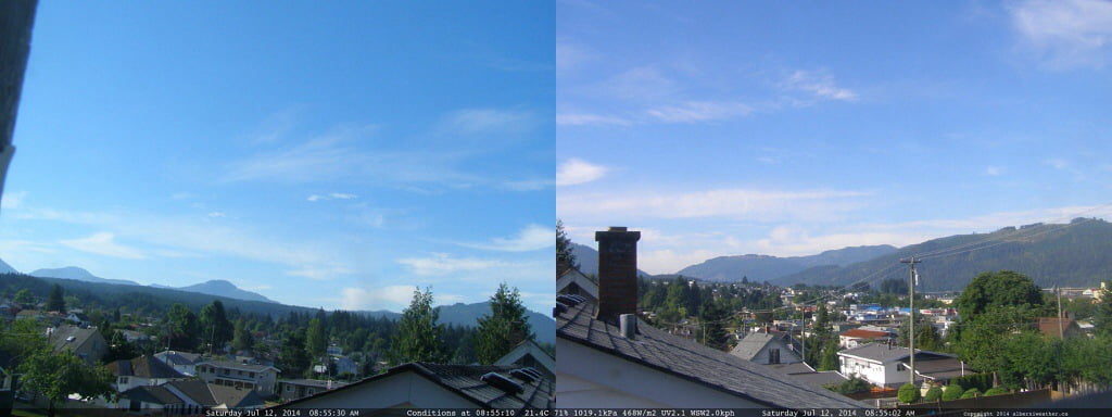
Update 12PM: Special Weather Statement issued. 11:43 AM PDT Saturday 12 July 2014 Special weather statement in effect for: Inland Vancouver Island Hot weather to peak Sunday… The highest temperatures of the current hot spell are expected today and Sunday for coastal B.C. afternoon maximums will approach or exceed 32 degrees inland and away from…
-

Updated: I’m back and the Hot Hot Heat is Here expect Extreme Fire danger next week
Update: the fire danger forecast has been downgraded to not get to extreme by Sunday the 13th but it may change again before we get there and I would be surprised if we did not reach extreme fire danger by Monday or Tuesday at the latest. (apologies for the Wednesday error 🙂 thanks to George…
-
Slightly sunnier, showers Thursday night/Friday, warmest May.
The forecast has brightened a bit. It should be cooler but still pleasant today. We are still on track to get some rain showers Thursday night but not as much, it seems, as other areas of the Island (east and west coast). We will see if that even pans out. The weekend is looking nicer…
-
Mostly dry but cool week ahead – hot next week perhaps?
Summary: Don’t expect any super hot days in the next week or so. We might get lucky and have the sun come out for a little longer than expected one day, but mostly this week is going to be pretty variable, with cloud, sun, rain and wind all taking turns. Temperatures should be a little…
-
May 2014 Summary – Warm and Dry Weather Causes Snowpack to Disappear
Pleasant May weather setting us up for Dry summer? May was above average for temperatures, and well below average for rainfall. Check out the full report below. Snowpack is gone On average, the snowpack usually disappears sometime in July. However, the BC River Forecast Centre shows the snowpack pack effectively disappeared by the end of May, 2 weeks earlier than last year…