
Category: Storm
-

Snow coming!? Stormy Thursday night and Friday morning. Weekend snow.
A change is finally coming January has been…. A little boring! It has also been very very dry. We only had rain at the New Year and then nothing since. That will change Thursday night. First contact – Thursday night We should get one more nice day Wednesday with the fog clearing around noon. It…
-

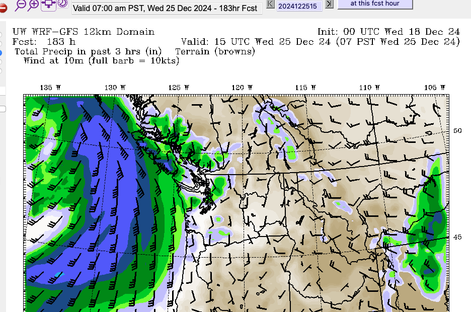
Stormy Christmas – Have Candles ready – And maybe make the Turkey a little earlier.
Special Statements likely to turn to Warnings Environment Canada has release a Special Statement covering most of the South Coast warning of a series of storms lasting from today through Boxing Day. It is a long one, so I will only link it here. Expect storms on Monday, Wednesday and Thursday with and possibly rain…
-
Official Christmas Forecast – Green and getting Greener and Stormier
The only pre-Christmas window for Philippine to get to San Francisco is today Here’s the Youtube Version of this Forecast We should clear up today, Wednesday December 18. We might hear the familiar rumble of Philippine Mars returning home for some repairs… not necessarily because the repairs are so bad, but maybe more likely because…
-

Friday smaller storm – Why was the City protected by the Mountain?
Thank you for visiting! There were nearly 500 unique visitors to Alberniweather on November 19. And I know there were many that will have seen the Youtube channel, the Mastodon feed and other information. Thank you Port Alberni! I always do my best to bring relevant, accurate, and timely information. Why was the City protected…
-

12:30PM Update – Highway 4 Open
12:30PM Reports at DriveBC.ca are that the highway has now reopened but it is single lane alternating traffic. Expect delays. It’s also not very nice weather here in Port Alberni. The clouds have rolled in, it’s blustery and the rain is a little sideways! Stay safe out there and avoid the highways if possible. Apparently…