Hope you will be able to get outside and enjoy this afternoons unexpected sun and warmth!
Tomorrow it looks like it will all come crashing down 🙂
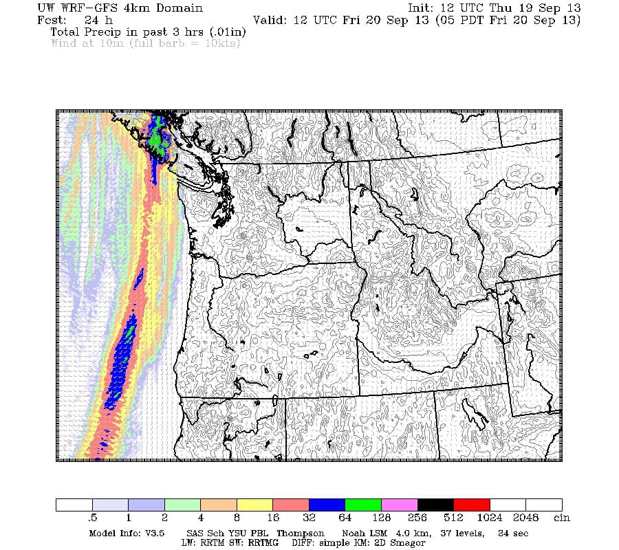
Showers should start right away in the early morning. Here is the 5AM image, you can see the front just passing over.

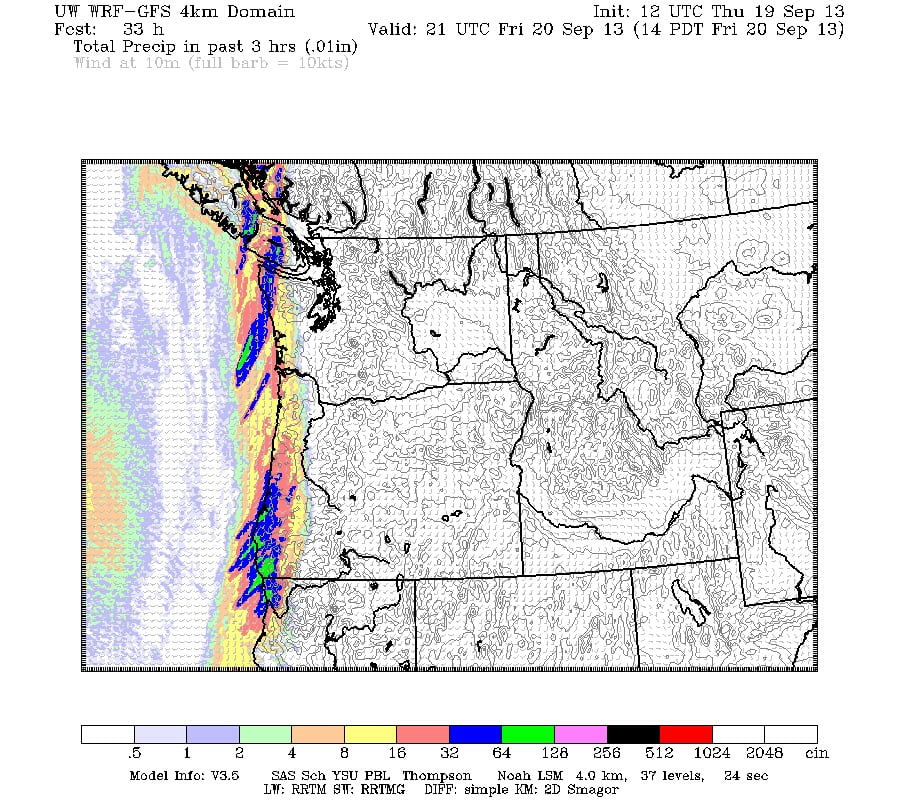
It will get more serious through the normal and between about 1PM and 2PM we should get a bunch of strong rainfall. Up to 20mm in that short span.

After that the showers should linger for a while. Saturday looks kinda iffy. :). Then Sunday, the first official day of fall, we’ll likely see some more rain.
Another update tomorrow! Happy final tanning day of summer!

Comments
2 responses to “Soak up Thursday afternoon sun cuz Friday you might get soaked.”
They sure made a decent prediction on that pattern for 5am. I’ve included (hopefully) the NOAA 15 MCIR image from 630am this morning that I received on its overhead pass.
I’m pretty impressed with the UWash models, they seem pretty bang on most of the time for short term. More so than EC.
They use a lot of local data, including from the islandweather network of stations. They don’t use all of them though, I’ve inquired about them updating their list so they take all the data from all the new stations including in town because I bet it would improve the forecasting here in the Valley.
It’s a shame their 1 1/4 km forecasts stop at the 49th parallel… It’d be perfect if it even just went to 49.5N and caught us! 🙂