The University of Washington forecast model has been very persistent and consistent in calling for light snow (no more than an inch) to fall Sunday.
The call continues today. The snow is brief. It passes through and to the south quickly.
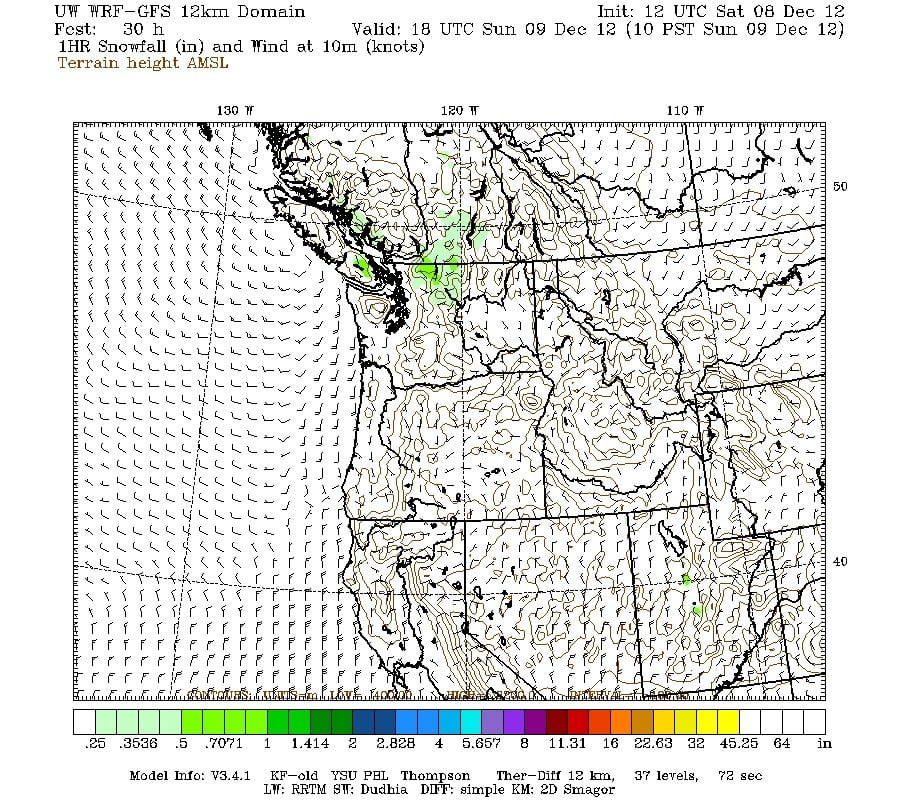
Here is the 12km forecast for snowfall for the hour of 7AM to 8AM

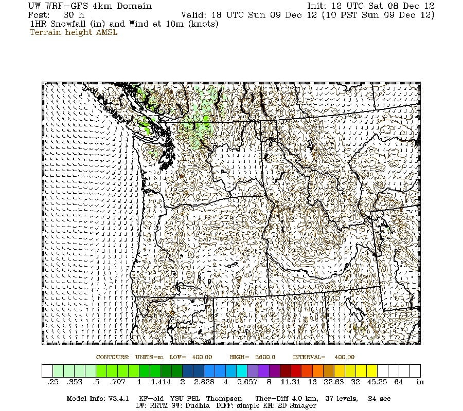
And by 10AM it has passed through.
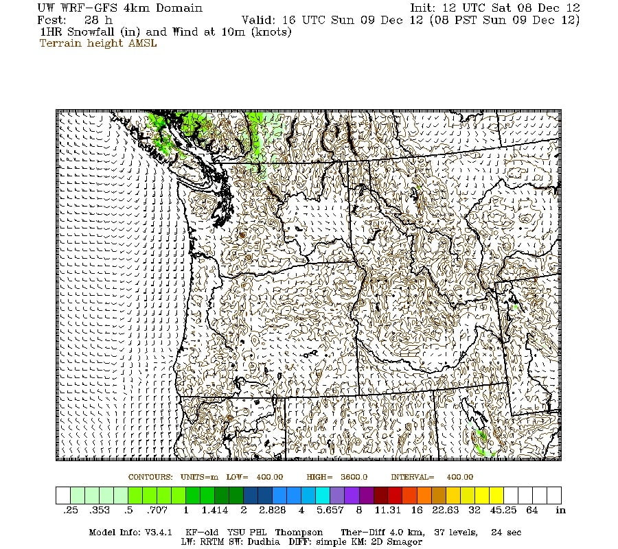
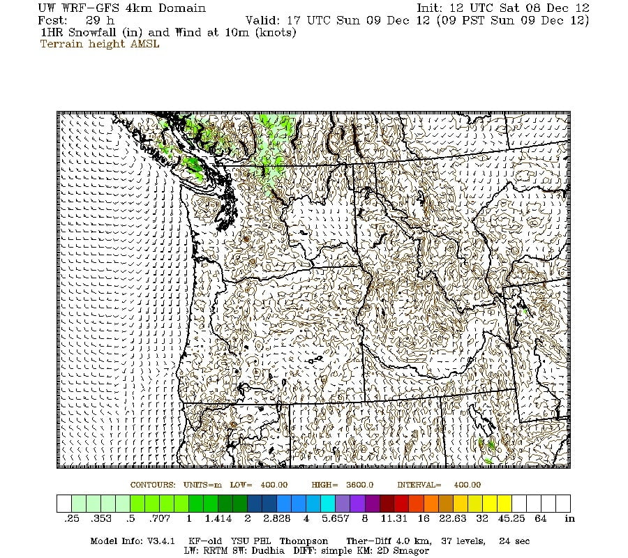
The 3 hour period from 7AM to 10AM shows all higher elevations of the Island will have fresh snow. This means if you are driving to Nanaimo or Victoria you should be cautious, there will be potential for snow on all of the roads. Even if its only a little, we all know what happens when the roads turn white around here. The most likely place for there to be snow on the ground generally will be Coutenay and points North.
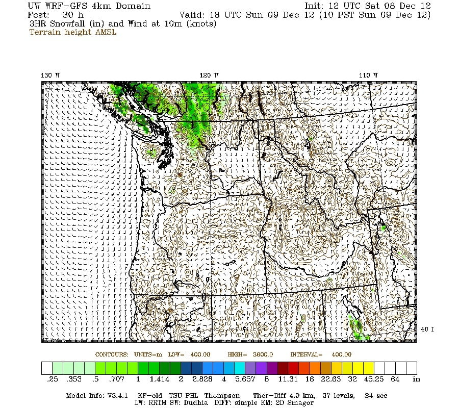
Here are the three single hours of 7AM to 10AM plus the 3hr accumulation but this time at the finer grained 4km level. You’ll notice the snow is even more confined to higher elevations and Campbell River.
In the end I think we will have some flakes in the air on Sunday morning and snow on the grounf at least out at the lake. No more than an inch… But it should at least feel Christmassy!


Comments
3 responses to “Snow Sunday 8AM?”
Great maps! I’m gonna go out on a limb here and predict that we’re only likely to get a few flurries, with most of the snow skirting us to the north and south as it passes over the valley. Of course, now that I’ve put that in writing everything’s going to change, but there you go!
No snow here at the lake this morning. But last night, coming back from town, i followed a sanding truck up McCoy Lk. Rd. and thought “Uh oh”. Sutton Pass had a skim of slippery snow on it Wednesday evening when i drove home from work. I had my snow tires put on over a month ago 🙂
It just started snowing with big wet heavy blobs here in North Port.