
Don’t worry, it’s not just us in the Fog. Here is the scene just now at VIU looking down the hill towards Nanaimo.
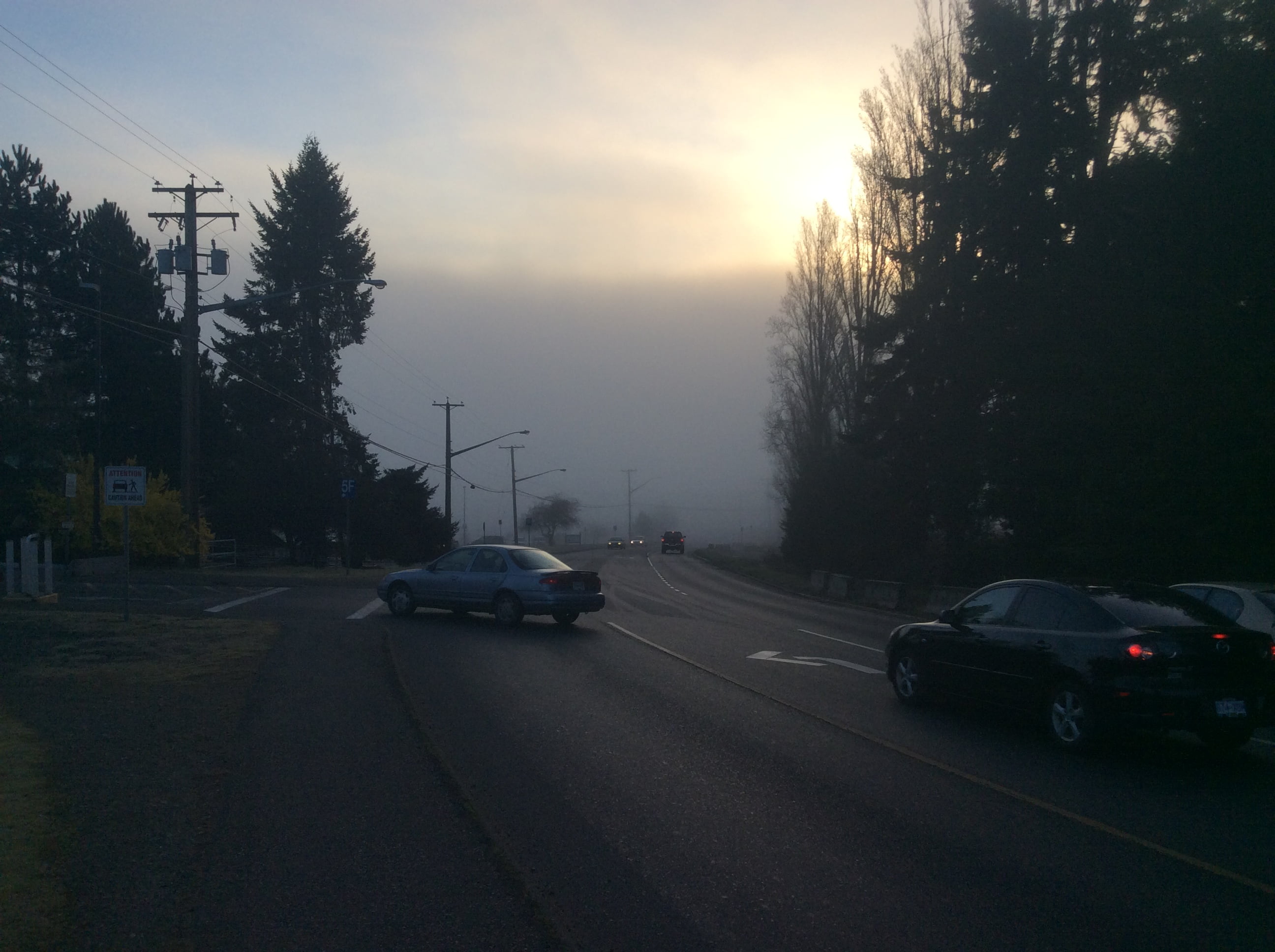 It’s quite the fog bank down there!
This was more like how we all remember the weekend that just past though!
 Beautiful, blue, and warm.
We should get back to that this afternoon and Tuesday afternoon as well.
Unfortunately, or perhaps fortunately depending on how it falls on the mountains, rain is finally coming in our forecast starting around 10AM Wednesday morning and lasting through the day.

Accumulations will be in the 16mm range.
The model is not showing any snow in the mountains, which means this will effectively wash away anything that is still up there.


That’s not what we were hoping for.
I think we may have to seriously consider the possibility that there will be zero snowpack on the South Island. The long range forecasts do not show any kind of cold air in our area.

Can we really go an entire winter season with no snowpack? It’s a hard thing to imagine. Our neighbours on the south Island are going to be having a very hard time if we have a hot summer (which is predicted) and salmonid stocks on the south Island and other wildlife are going to be struggling as well.