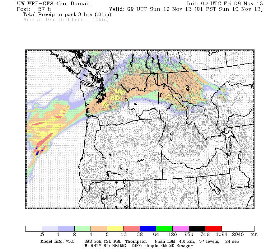
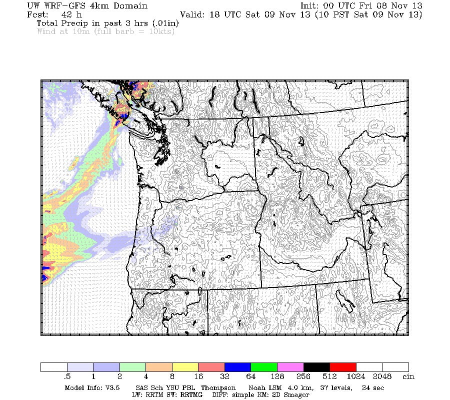
Today should be fairly pleasant. No rain is expected until tonight when a weak finger of moisture is slated to touch us and bring some rain.
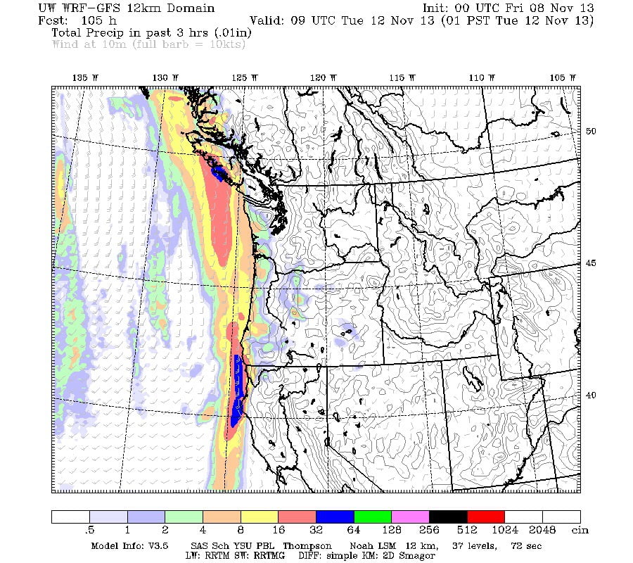
And then we get a nice break for Remembrance Day before the rain returns late Monday night.
A pretty normal pattern for November.
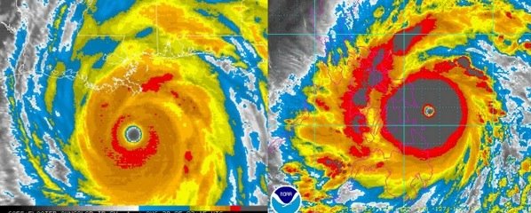
Elsewhere in the world, there is a Typhoon that has just ripped through the Phillipines that is believed to be one of if not the strongest hurricanes ever to have hit land. The first city in its path was one the size of Port Alberni and it was slated to received sustained winds of 314kph with gusts to an insane 375kph plus a storm surge of 20ft. For comparison, our highest sustained winds since I’ve been in the Valley were in 2006 at around 90kph with gusts to 115kph.
Here is a side by side of Hurricane Katrina on the left, and Typhoon Haiyan (or locally Yolanda) on the right. Haiyan looks like a buzz saw.
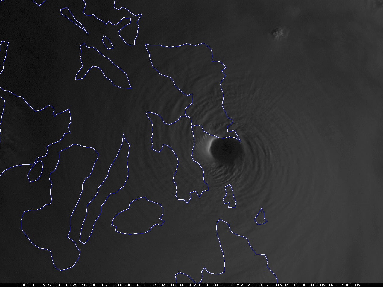
Haiyan made landfall at almost exactly dawn and did so at peak intensity. This image below is truly stunning and beautiful. The clouds from storms this fierce reach far into the stratosphere so you can see the sun shining on the top most clouds of the ‘stadium wall’ on the west side of the eye.
There have been no reports yet on the damage done but it will inevitably be catastrophic. This report indicates it continues to bring huge winds to the area. It has made a second landfall on Leyte Island of the Phillipines this morning (our time) with winds still over 235kph with higher gusts.
Have a great weekend.

