Hey All,
Please forgive me for missing my usual schedule of updates on the blog here. I’ve had to drive in all the way to my work at VIU the past few days rather than take the bus. And the bus is where I usually do my blogging for Alberniweather!
I will hopefully get back in track tomorrow.
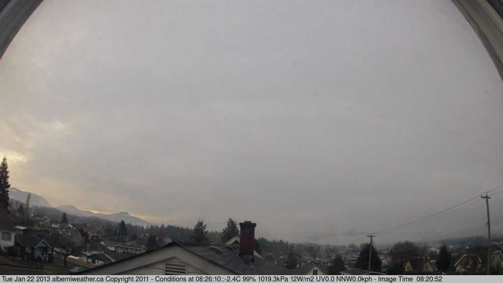
And speaking of tomorrow… one does wonder if we might just have some white stuff around? The air aloft is very warm (around 10C see yesterdays post). But we are still well below freezing this morning.
So the question becomes, when the showers and rain start later today, will that cold air stick around like it did in early January?
It always seems to be a threat… and the models? Well, they just aren’t fine enough to pick up those possibilities yet.
So stay tuned! Most of the precipitation should start late tonight and into morning. Maybe I won’t be driving in at all? 🙂
Oh… one more thing… I noticed a beautiful sunrise on the webcam at 7:30AM this morning! They days are getting longer and it’s quite nice outside to boot!
It also looks like we are going from a foggy pattern to a wet pattern for the next couple weeks.


Comments
2 responses to “Possible Snow/Rain mix tonight? – Short Post”
There was a hint of clear sky at 7:30, but it was overcast/fogged in by 8:00. I understand, though, from a reliable source, that it was gorgeous up on the summit last evening. I’d like some of that, but I understand that it’s the price of low/no mortgage. And, yes, tomorrow will be 2 minutes, 40 seconds longer daylight than today. No Blue Mondays here.
Cold air sticking around, or was sticking around is right. We (were I work) got the heads up for some heli work on Monday, and apparently it was upwards of 14c at 3000ft of elevation. Inversion anyone?