You might have read the story about the talk I did at the Museum about the history of temperature and climate in the Valley. I had hoped to have that presentation online by now but my computer has been giving me trouble and is in the shop, so it won’t be online until it returns. I’d just like to say I hate having my picture taken, and would much rather be making a face at the camera…. like this:
Now that I’ve scarred you for life, here is the situation for record-breaking weather we are about to have.
The hottest official temperature for May is 34.1C set on May 28th, 1983.
We won’t be getting anywhere near that Monthly record, at least I hope not, but it’s worth noting. We are into 4 or 5 days of potentially record setting weather. Looking back at the new Airport, Old Airport “A”, Redford, City, and Beaver Creek stations to 1900.
May 4: The current record since 1993 is 26.3C in 1998. All time is 29.4C in 1915 at Beaver Creek.
May 5: We will smash the current record since 1993, 23.7C in 1998. Might beat the all time 30.6C in 1915 at Beaver Creek.
May 6: We should smash the current record since 1993, 23.3C in 1995. Should beat the all time 29.4C in 1915 at Beaver Creek.
May 7: We should reach the current record since 1993, 22.7C in 1995. We will not beat the all time 28.9C in 1923 and 1969 at Beaver Creek and Redford Stations.
I mentioned in the article and in the talk at the Museum changes in the Jetstream…
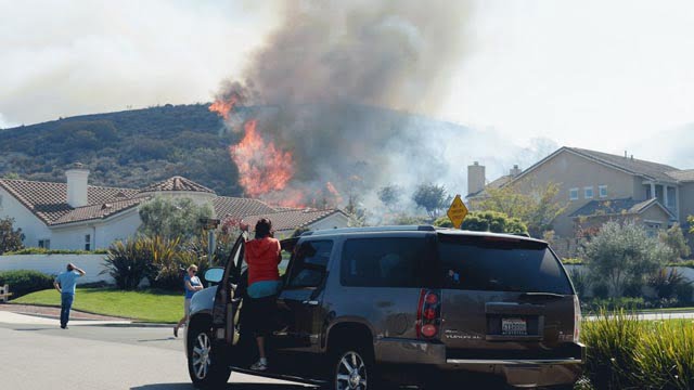
Says Dr. Masters at Weather Underground yesterday as fires rage in California and snow piles up in Canada and the Midwest US, “A highly unusual jet stream pattern….”


