
Category: Cold
-
Rain Starting Tuesday Morning – More Wednesday – Crazy Winter Weather elsewhere.
We’ll stay mostly dry to start the work week this morning however, things will pick up on Tuesday morning when the first of 3 rain waves come through. The first wave will start before 4AM Tuesday. But it should end before 4PM in the afternoon Tuesday. A second stronger system will move in around 4AM Wednesday.…
-

Freezing Rain Warning in Effect.
11AM – EC has ended the Freezing Rain Warning EC has issued the following warning. The threat should pass by early afternoon. Be careful out there. 4:46 AM PST Wednesday 06 January 2016 Freezing rain warning in effect for: Inland Vancouver Island Freezing rain is expected or occurring. An upper disturbance crossing Vancouver Island…
-

Updated 1:00PM – Snow moving up Island this morning. Monitor radar and Drive BC
Updated 1PM – East Vancouver Island Snowfall Warning Issued. We’re tougher in Port Alberni, we don’t get a snowfall warning for “only” 5-10cm. 😉 12:27 PM PST Tuesday 05 January 2016 Snowfall warning in effect for: East Vancouver Island Snowfall, with total amounts of 5 to 10 cm is expected. Snow will continue over East…
-
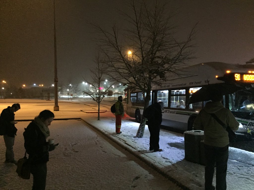
Updated 10AM : Unexpected Monday morning Snow in Nanaimo. Possibly more coming.
Updated 10AM: https://twitter.com/alberniweather/status/684069598027620353 Updated 9:15AM Latest Radar is showing another wave of precipitation/possible snow coming over the Strait towards Nanaimo/Parksville. (not likely to reach as far as Port Alberni). UPDATED 8AM There was nothing in Port Alberni or Parksville at 6AM or 6:45AM when I was there but then I looked up from my iPad…
-

It was warmer at the North Pole – Dry until Monday – Earthquake Stats
Weather remaining the same The weather is going to remain pretty much the same for the next few days as we are in a high pressure area. The Fog is likely to stay through most of the day. If it does clear up overnight it will get down to around -3ºC or -5ºC. There is…