Foggy but warm, dry and sunny week(s) ahead

What a gorgeous weekend we enjoyed!

IMG_5587
The daffodils are starting to bloom. It’s more than a little early!


IMG_5586
On Saturday there were only a few clouds in the sky by afternoon.
IMG_5608
Monday morning fog prevailed in the Valley but on the hump a large crescent moon was rising over Mt. Arrowmsith.

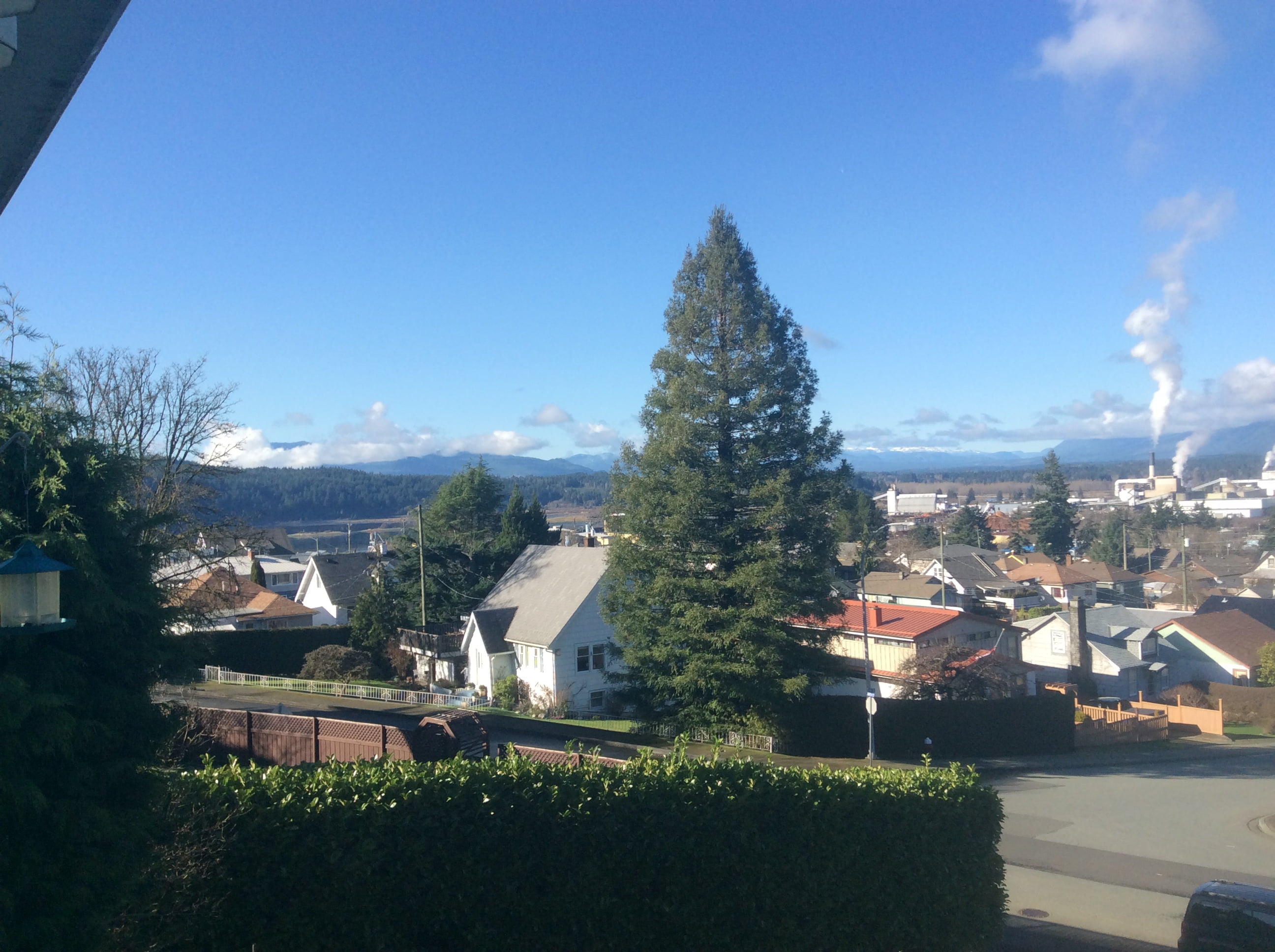
We can expect the warm weather to only be interrupted by morning fog.  The fog should burn off by late more and we should continue to reach highs over 10ºC.

On Tuesday we may get as high as 17ºC (64ºF) according to the chart below!

wa_tsfc.48.0000-2
Very high temperatures for Tuesday afternoon.

The first chance of showers will be on Wednesday and Thursday but it is a very weak system and will not produce significant rainfall, if any.

The rest of the forecast is dry through next weekend with perhaps more persistent fog Thursday/Friday but cold morning and  warm clear days again on the weekend and beyond into next week.

The GFS model has us getting warmer through next week (top red) and clouds clearing this week before returning next (bottom grey)
Screen Shot 2015-02-16 at 8.14.39 AM
The 16 day model consensus has no clouds early this week, then again on the weekend.

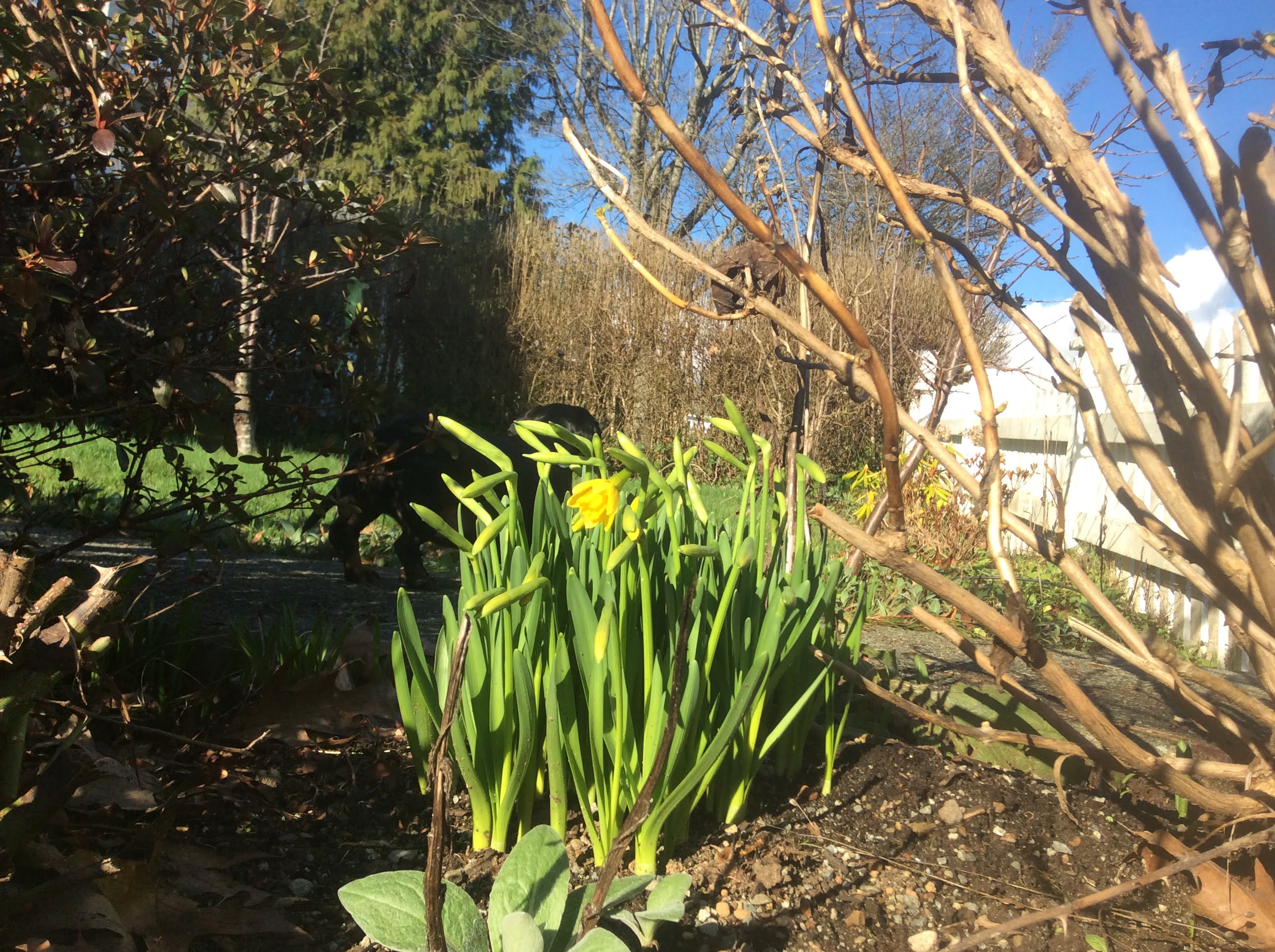
Spring is here a month early…. I guess…. but there will be a chance of frost later this week.


About The Author