
Category: Wet
-

Snow for Christmas? Unlikely – but it will be around!
Expect cooler temperatures – Possible showers or flurries The forecast gives it away by putting “showers” or “rain” before “flurries” or “snow”. If that switches then you’ll know Environment Canada gives a better chance for white stuff. But for now it looks like we are just not quite cold enough for snow to be a…
-

The Atmospheric River misses us again – thankfully – looking to Sunday – Alexa Skill and text Forecast upgrades.
Washington State and Fraser Valley get of it. This is a good reminder that the Pacific Northwest is a large area encompassing Southern Alaska, BC, Washington, and Oregon and even Northern California when it comes to places where “Atmospheric Rivers” from the Northeast Pacific can be felt. As you can see by the red and…
-
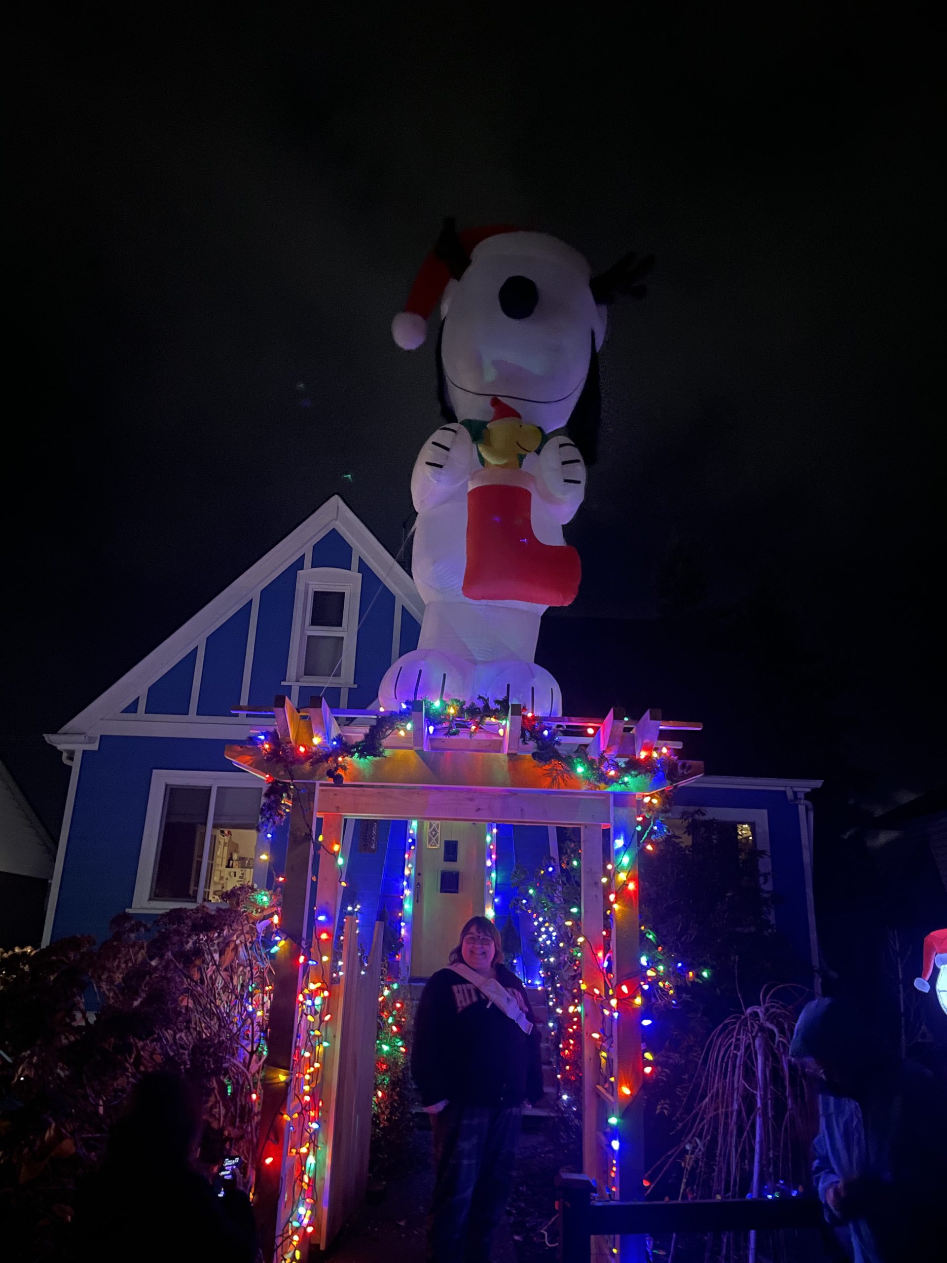
Christmas Lights Tour now on AllTrails and could there be a White Christmas
As the wind and rain reminds us that we are not in the snowiest part of Canada, we can still have fun seeing everyone’s amazing decorations! We finally managed to find time to put ours up yesterday at Alberniweather HQ! I’ve updated the map with a new address on Southgate road and so I’ve modified…
-

Coastal Flooding Possible as Full Moon raises already high waters
Higher than normal tides possible Wednesday and Thursday We are getting a fairly run-of-the mill system and rain today but it will be combining with seasonally high tides that could cause some minor flooding along the coast lines. Podcast is up You can see all Podcasts at the Alberniweather Youtube Channel. Tide Gauges already showing…
-

Wet Halloween and Saturday Storm
Podcast is up. Here’s the podcast version of this post! Thursday looks nice – Rain begins Friday Thursday will be dry and we might even see some clear blue sky once the high clouds and low fog burn off. The rain won’t be getting on the Island until tonight and it should slide down the…